

Emmons Moraine Trail on Mount Rainier/Tahoma

I hiked Emmons Moraine Trail back at the beginning of July 2024 and it was gorgeous. I wanted to share some of my photos with you in case you'd also love to come along on this adventure.
Good to Know
Pass
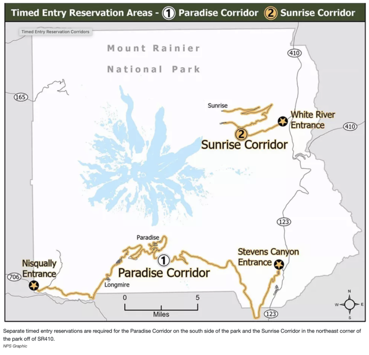
The Emmons Moraine Trail is part of the National State Park for Mount Rainier so you'll need to have or purchase an entrance pass. Additionally, starting this summer (2024) if arriving between 7:00 am to 3:00 pm you'll need to reserve your timed entry slot. We went on this hike back in July right before the timed entry started for the Sunrise Corridor so I didn't have to deal with timed entries but I've since heard online that it can get backed up. For more information here's a link to the fees and passes page for Mount Rainier on the National Park Service website.
Connectivity
If going I want to remind you to download or print your hiking map ahead of time and be prepared to drive out of the park without being able to reload your driving directions.
Camping
We didn't camp but the trailhead itself was located at White River Campground so there is camping available with a typical season from late June to September. With the timed reservation note:
From July 4 - September 2, 2024, timed entry reservations are required to enter the Sunrise Corridor between 7:00 am and 3:00 pm, which includes White River Campground. Once you get a White River Campground first-come, first-served (FCFS) permit, it can be used instead of a timed entry reservation to enter the Sunrise Corridor anytime during the remainder of your stay. FCFS permits can be acquired before 7 am or you may need a Sunrise Corridor Timed Entry Permit if you want to try to acquire a FCFS between 7 am and 3 pm. There is no guarantee that a FCFS permit will be available even if you get a timed entry permit. White River Campground permits provide access to the Sunrise Corridor only; they do not provide access to the Paradise Corridor.
The above quote and more information about this and other Mount Rainier Campgrounds can be found at the National Park Service campgrounds page here.
Facilities
As the trailhead is located at a campground there were nice flushable toilets when we went. That said, looking at old AllTrails reviews suggest that the bathroom is closed when the campground is so be aware of the campground season when planning.
More Information
As mentioned above you'll need both an entrance pass along with a timed reservation based on when you go. Here are the links for more information about them:
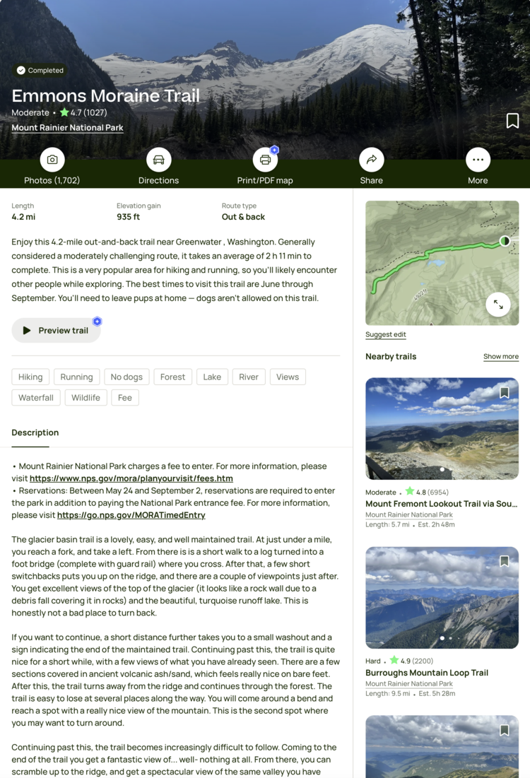
For more up to date information about this hike you can check out the either the Washington Trail Association page or the AllTrails page.
Activity Burn
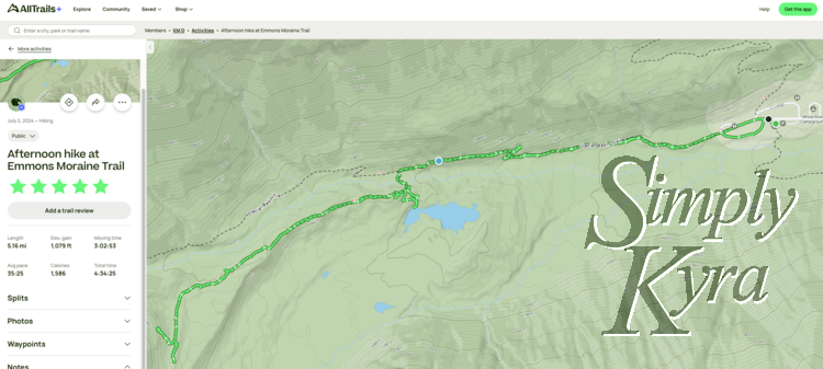
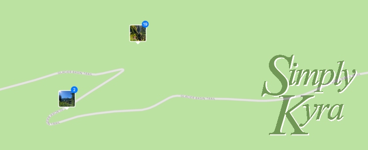
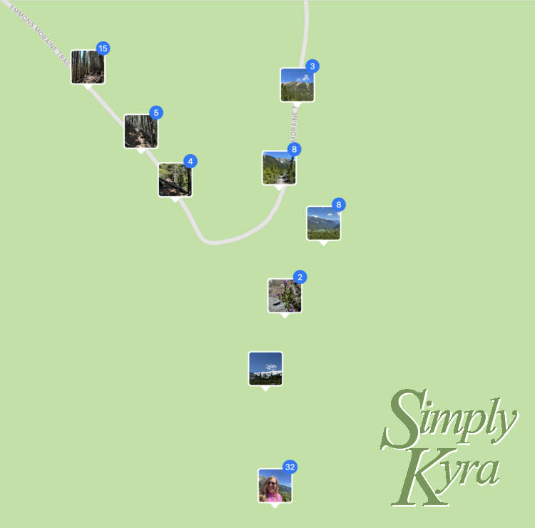
In case it helps you decide here's my map and hike stats from AllTrails. We went on a couple side trips including through the trees, near the end, and to the lake along with stopping several times for photos and lunch but overall the entire hike was logged at 5.16 miles with a moving time of 3 hours and 3 minutes and a total elevation gain of 1,079 feet.
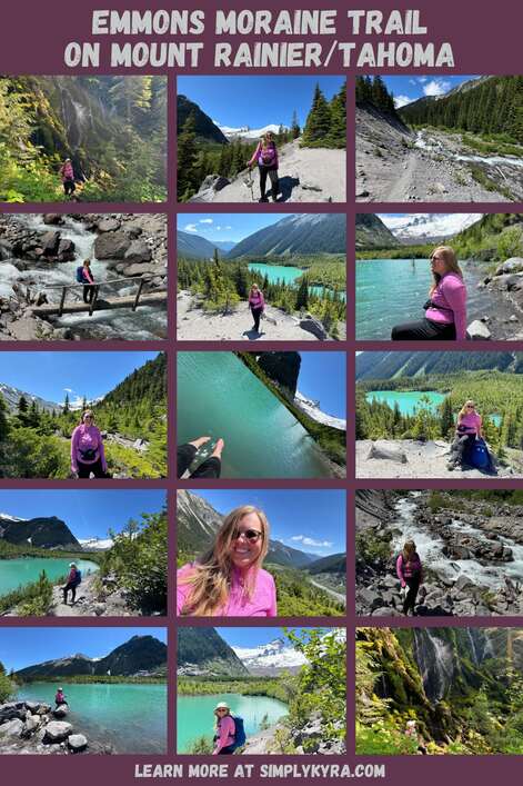
Emmons Moraine Trail
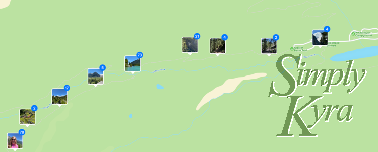
Normally I sort these photos in the order I took them but with this hike I realized I took more photos on the way back so I wanted to order them by location starting at the trailhead in the campground all the way to the viewpoint closer to the glacier. In reality we took the photos of the waterfall on the way out and stopped at the lake with extra photos of the river on the way back.
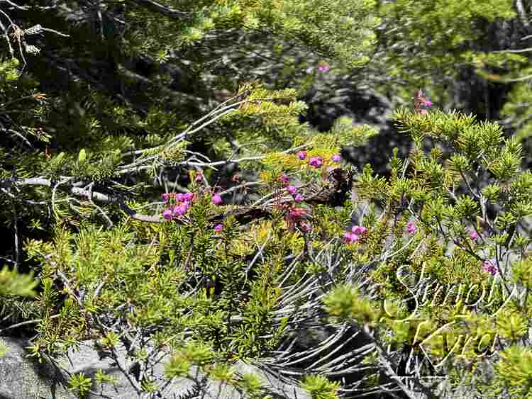
Campground
Although we didn't camp the trailhead was located at the White River Campground with the following views taken in the spaces between the campsites.
Heading Out
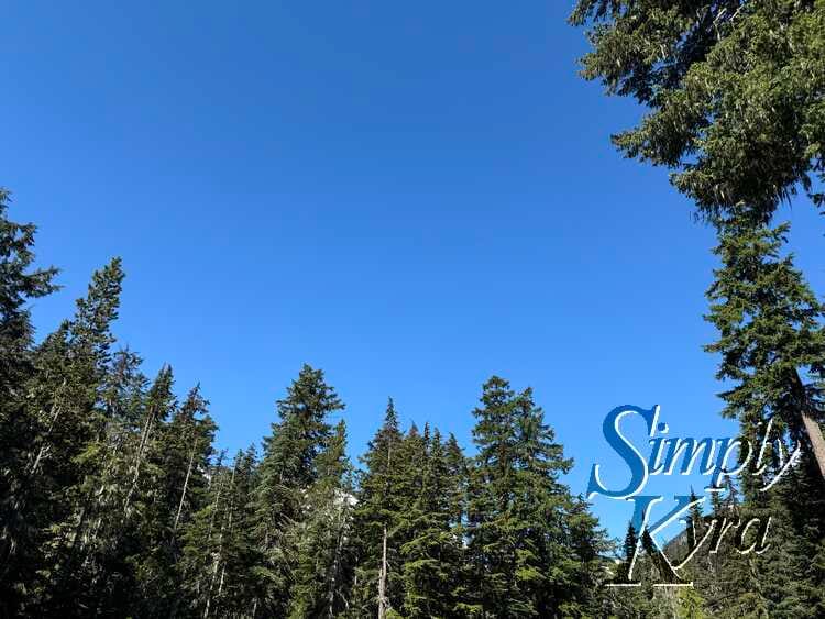
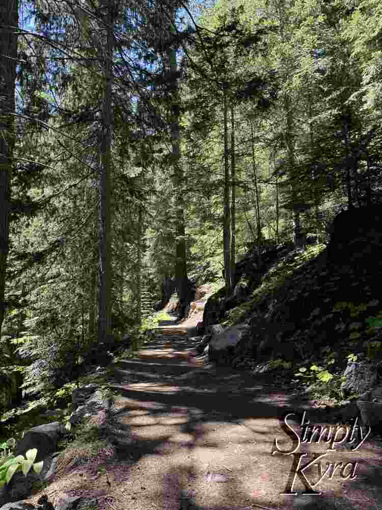
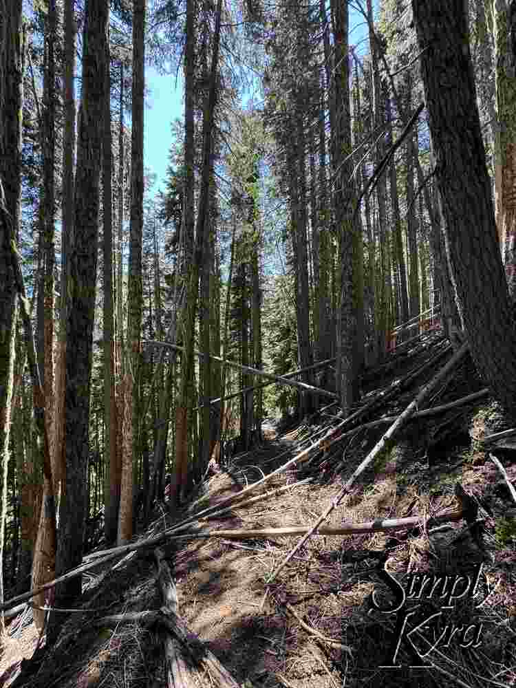
After walking through part of the camp we started on the trail and hiked along the wide and well maintained path in the trees.
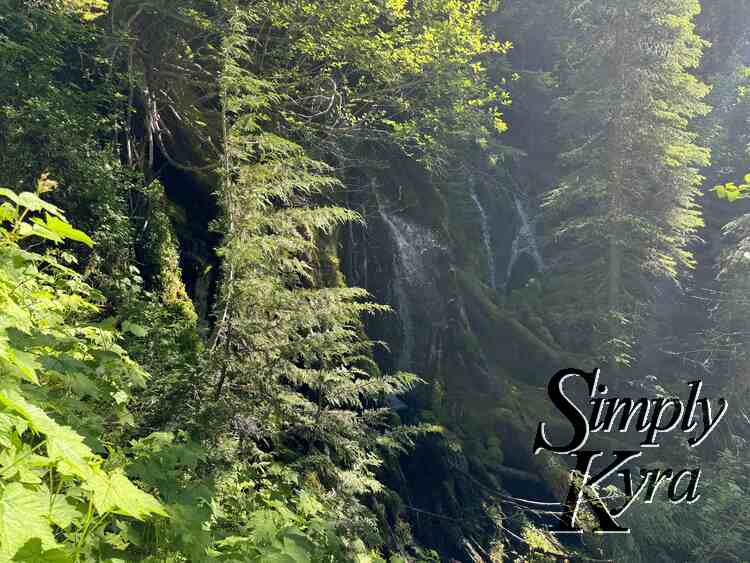
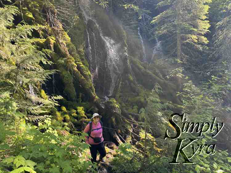
Waterfall Pause
On the way, right off the trail, we found a waterfall that was gorgeous. I could totally see spending some time reading here or eating a snack if you had more time.
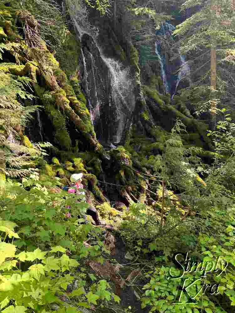
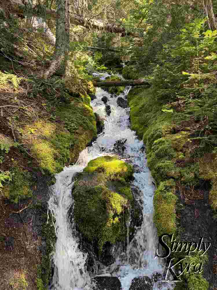
Continuing On
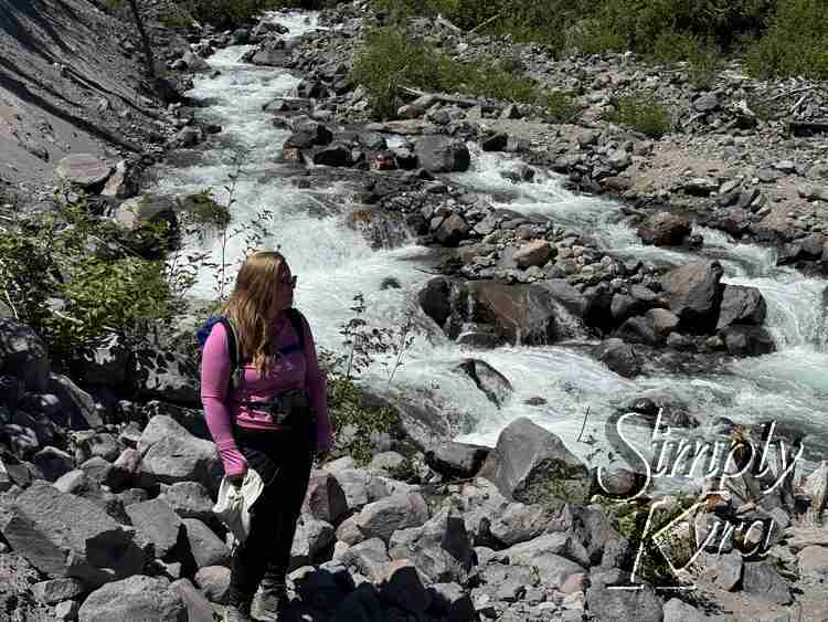
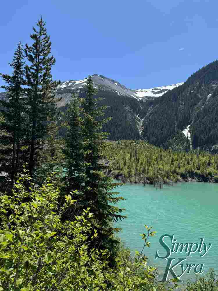
Continuing along the trail we found another waterfall before arriving at the river.
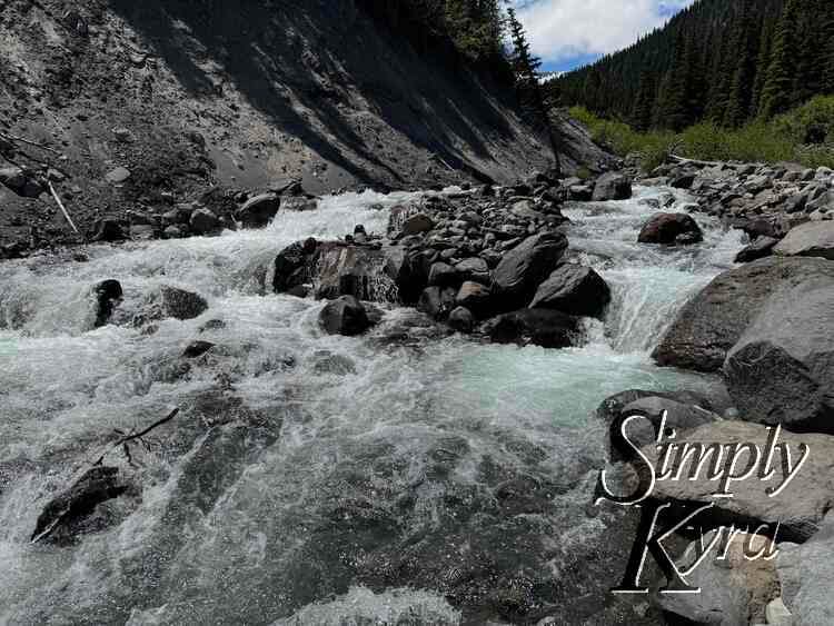
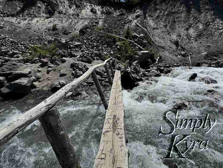
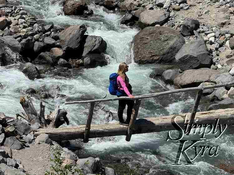
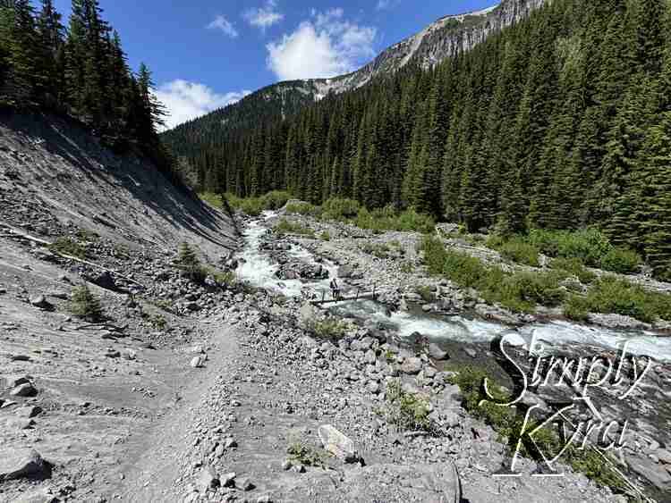
River Crossing
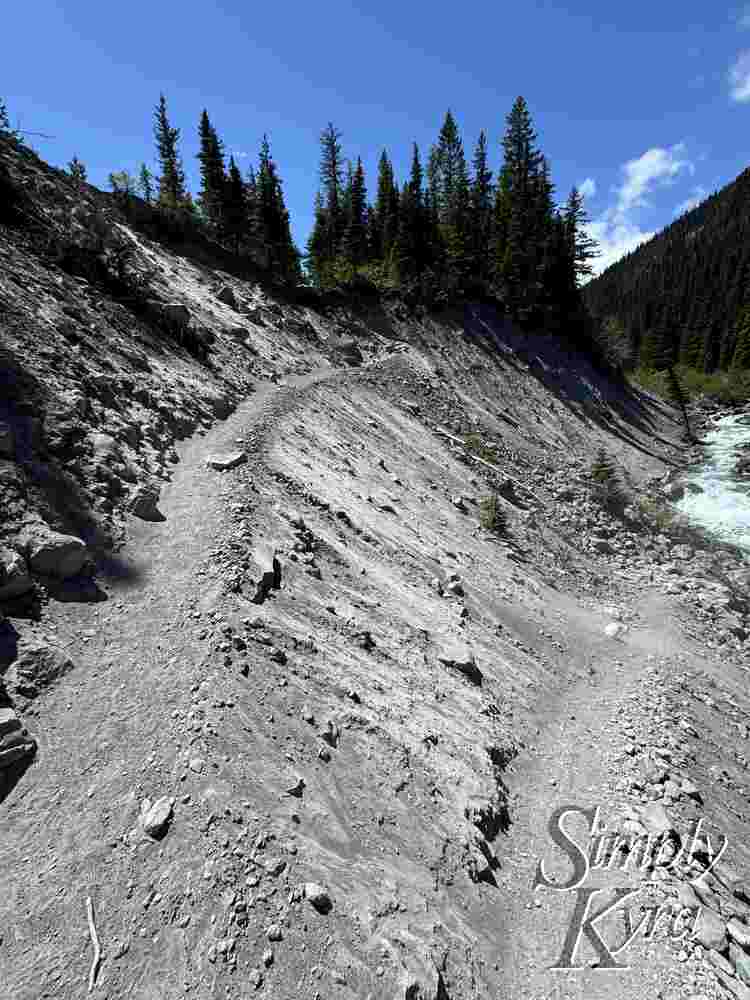
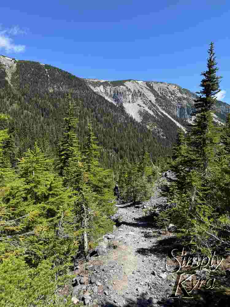
The trail does cross the river but with the bridge you don't get wet at all and have a photo opportunity if it isn't too busy. On the other side, after crossing, you'll find gravel switchbacks heading up the hill. Just be warned to keep your mouth closed if windy as the sand can get blown up easily.
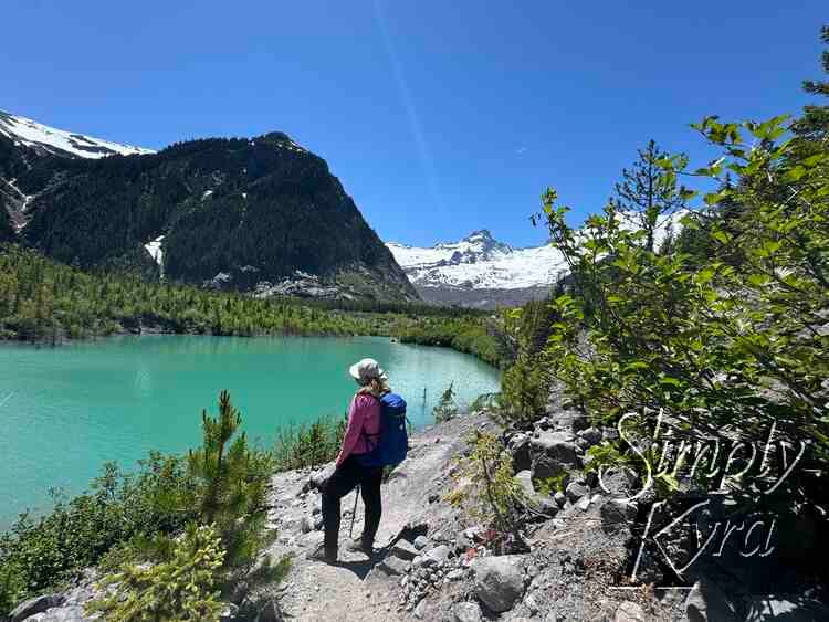
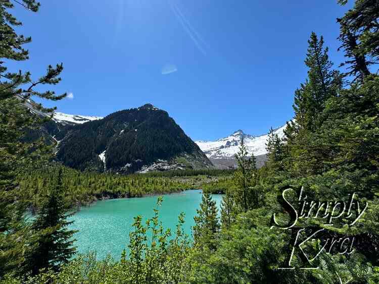
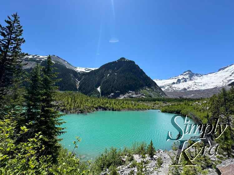
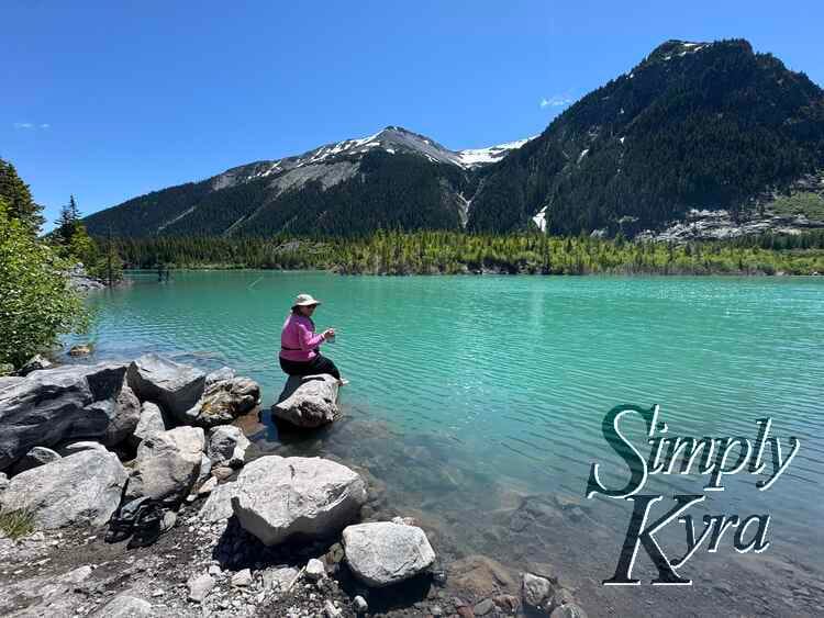
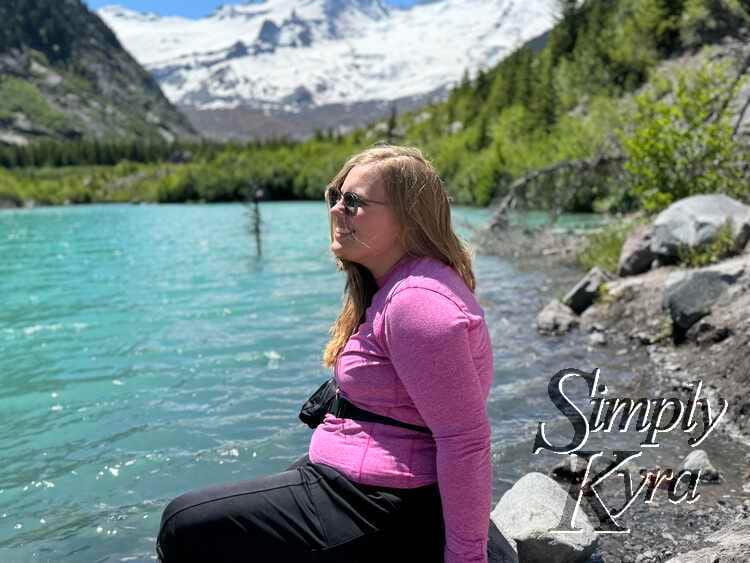
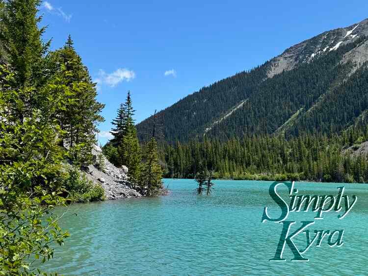
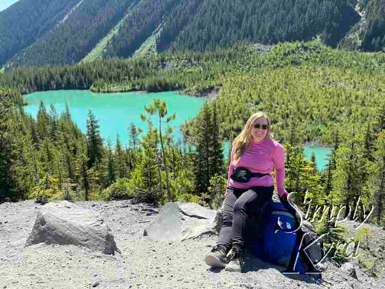
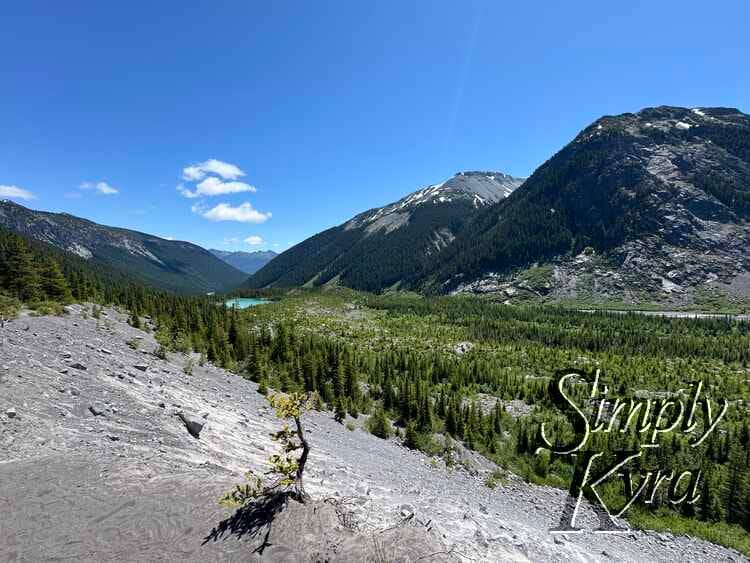
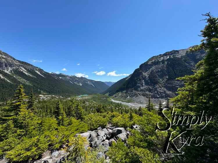
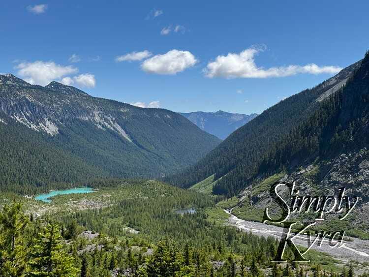
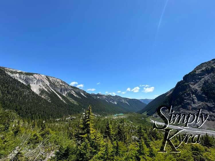
Lake Access
At the top of the switchback the trail goes to the right which we followed on the way out. That said, if you instead go straight there's a smaller path down to access the lake. On the way back we stopped at the lake for a rest, a view, and to eat our lunch. That said the access point was steep so be careful going down and mindful you'll need to go back up that way when leaving.
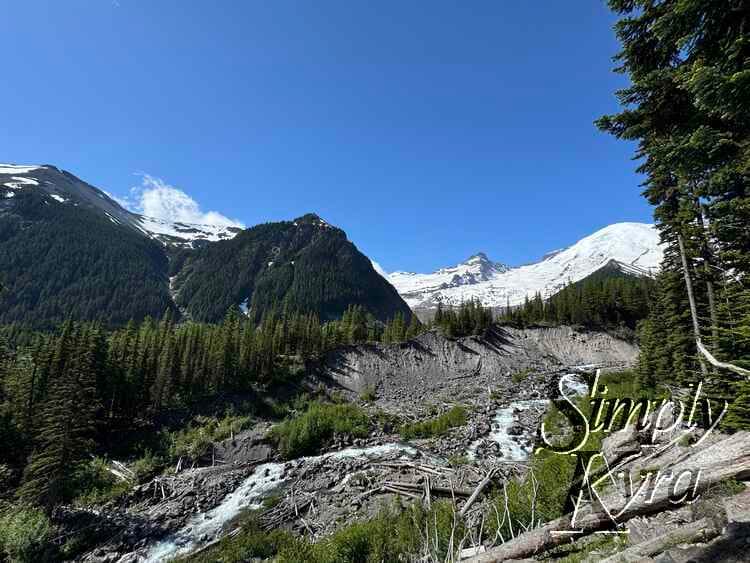
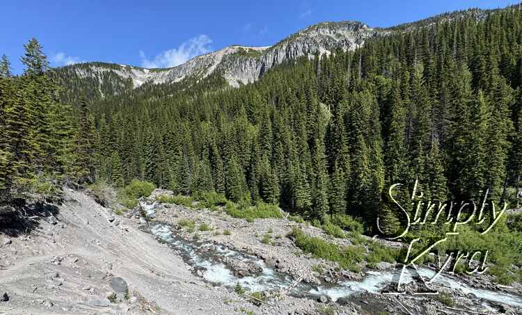
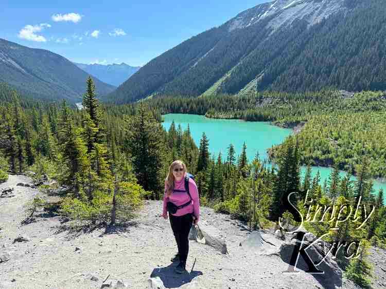
Continuing on
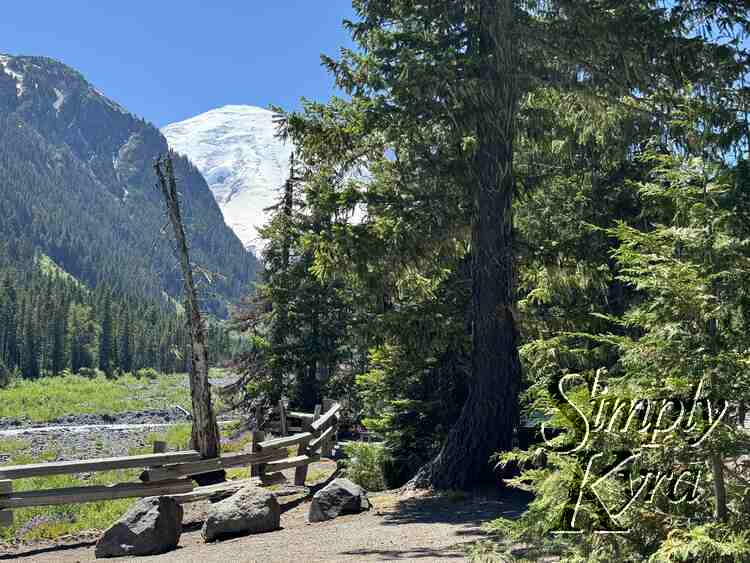
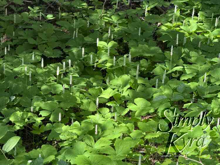
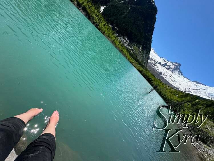
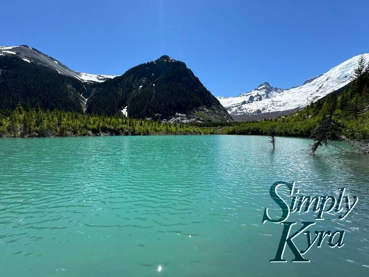
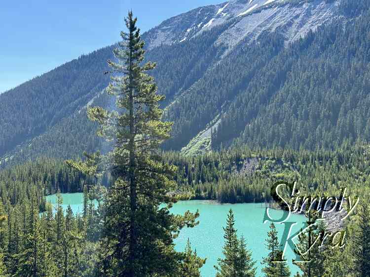
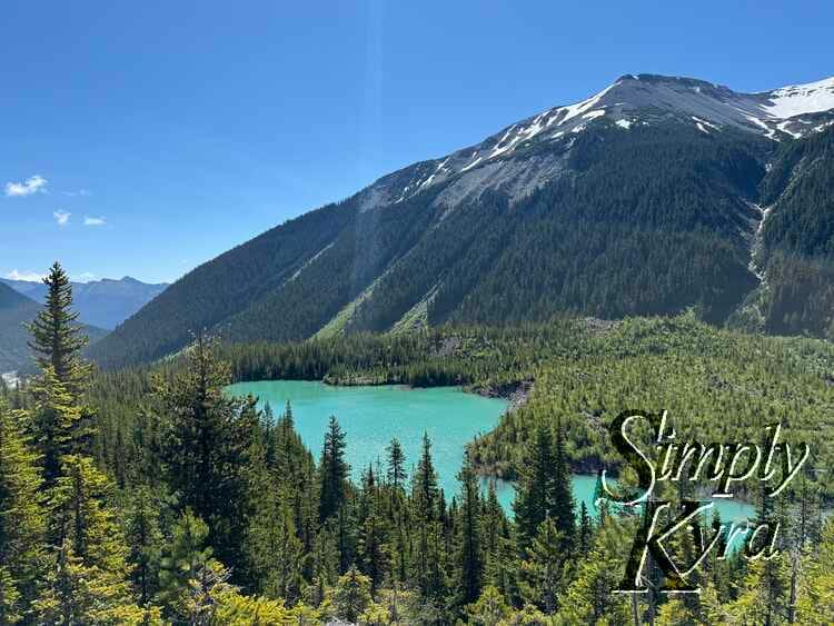
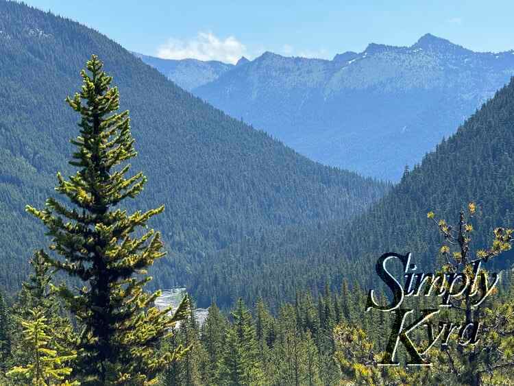
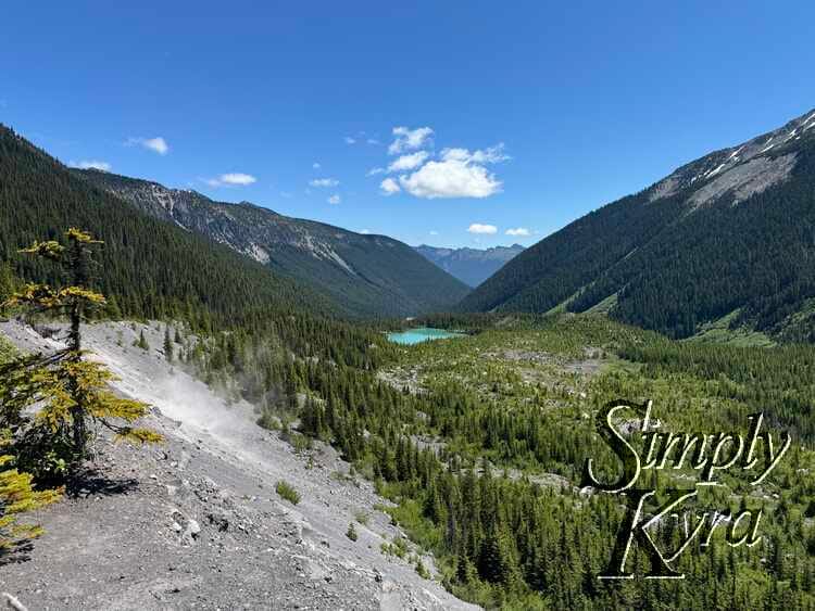
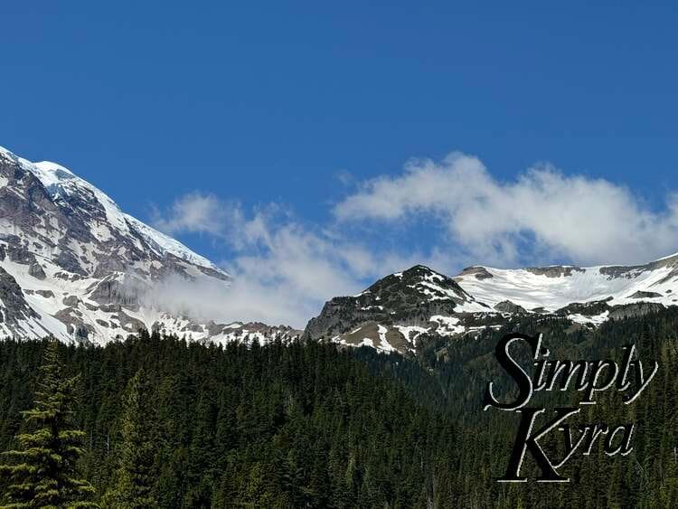
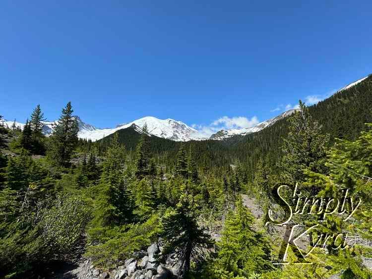
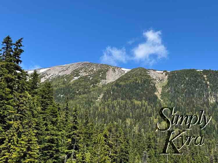
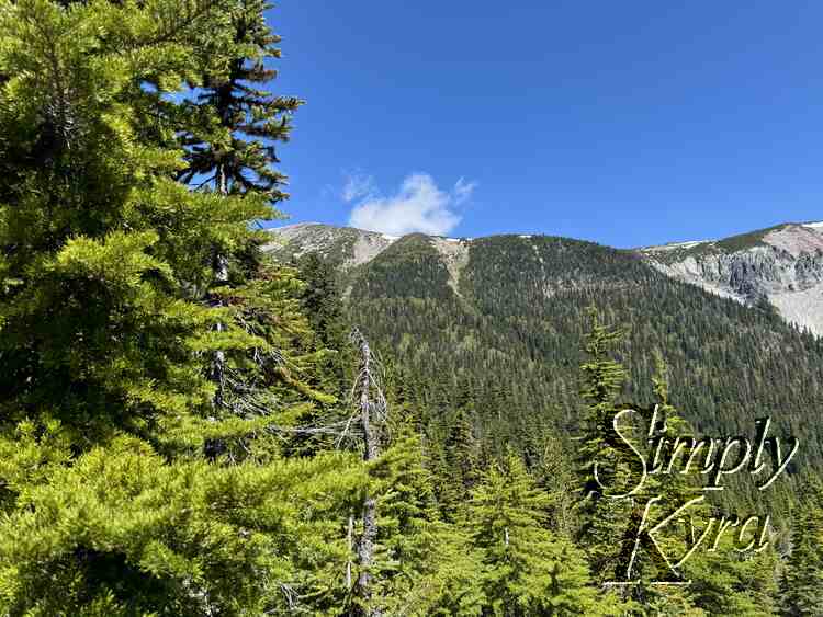
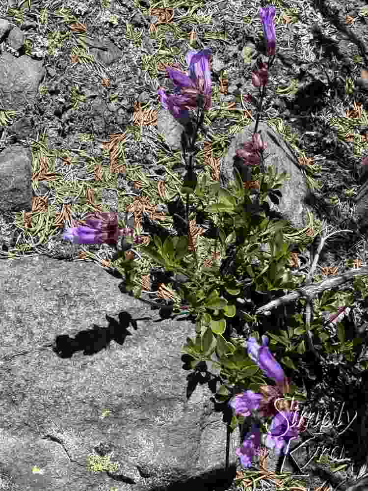
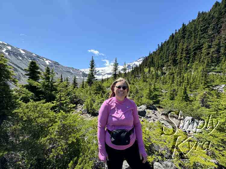
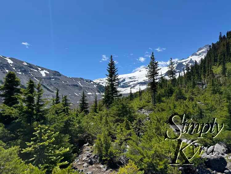
After the river and lake the trail offered frequent views of the mountains along with the lake, when looking back, and the glacier, when looking ahead. There were several small spots you could pull off the trail to rest and snap a photo.
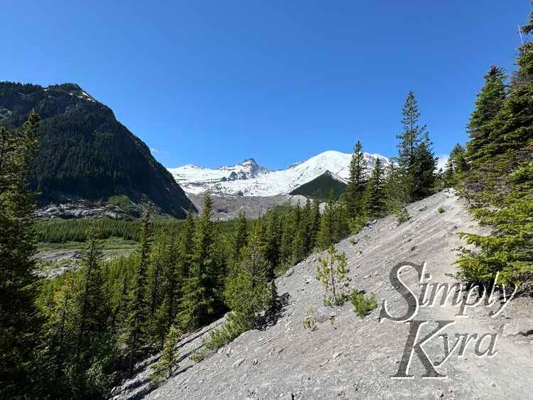
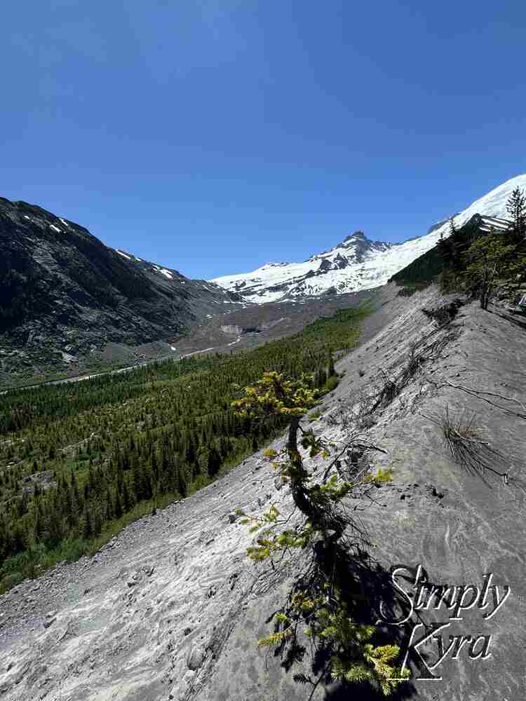
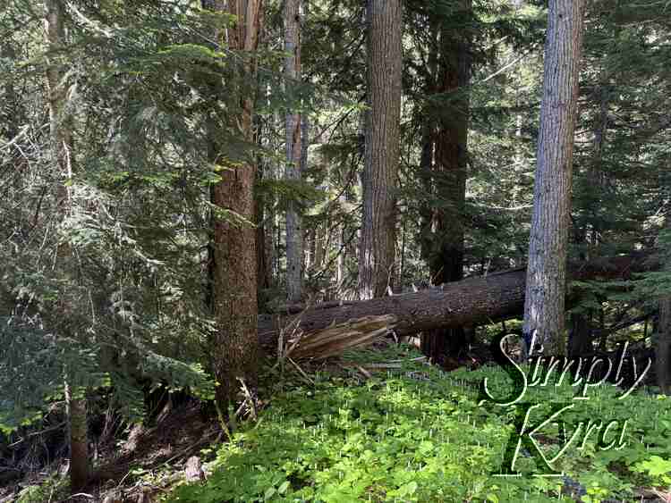
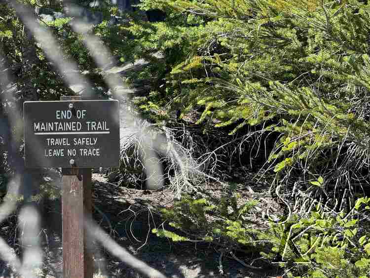
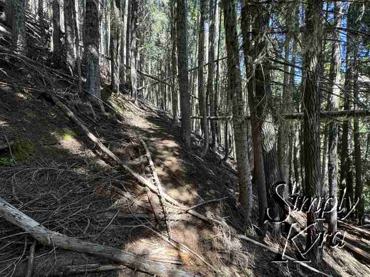
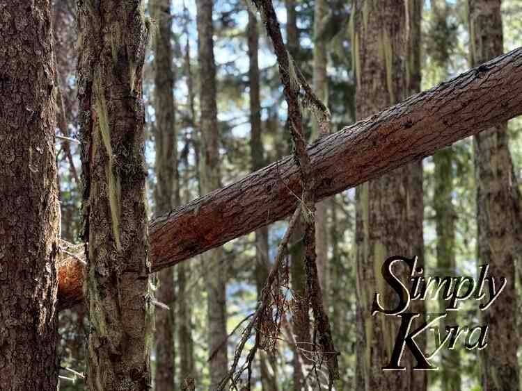
Less Maintained Path
At some point along the way there's a sign letting you know the end of the maintained trail has arrived. I thought nothing of it at the time as we had the map downloaded on AllTrails but found several times we got a bit turned around as there's several branching paths that others have forged and it's less obvious where you should go.
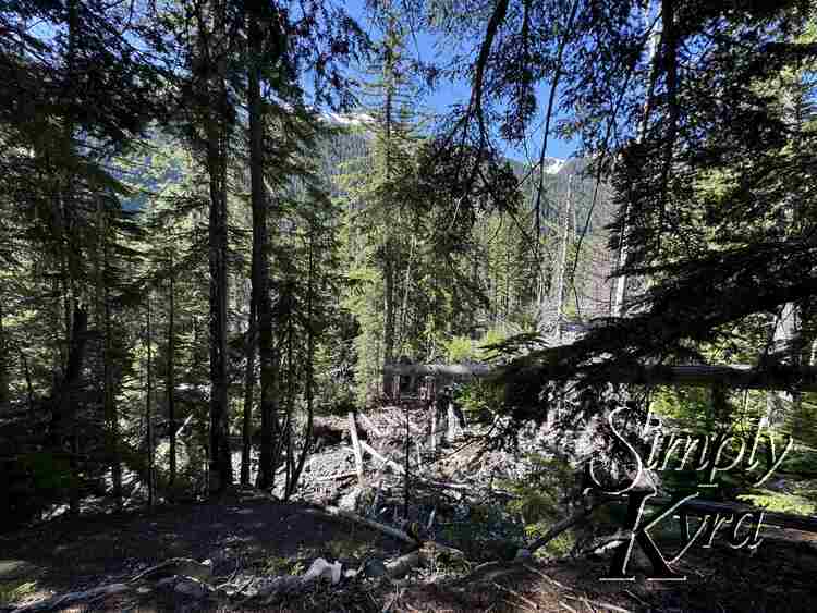
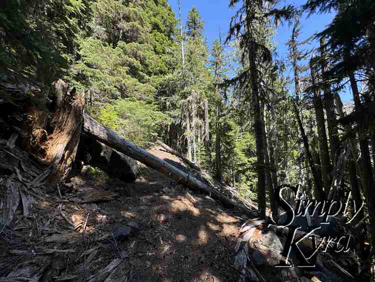
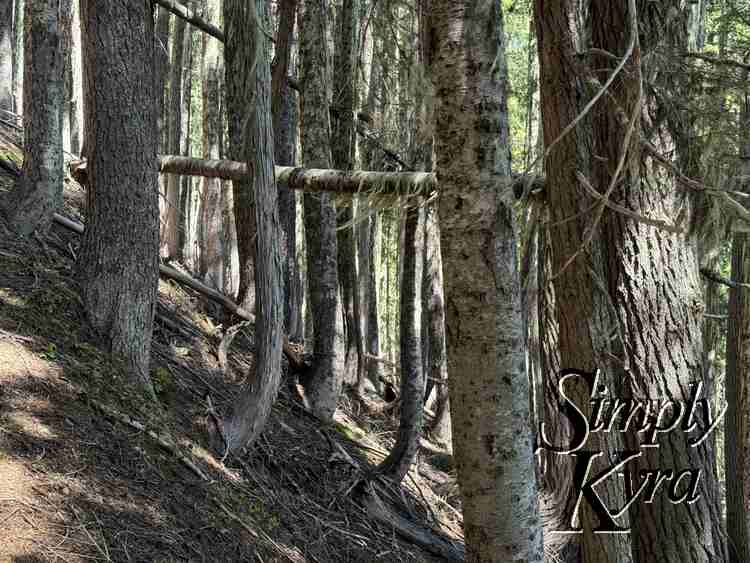
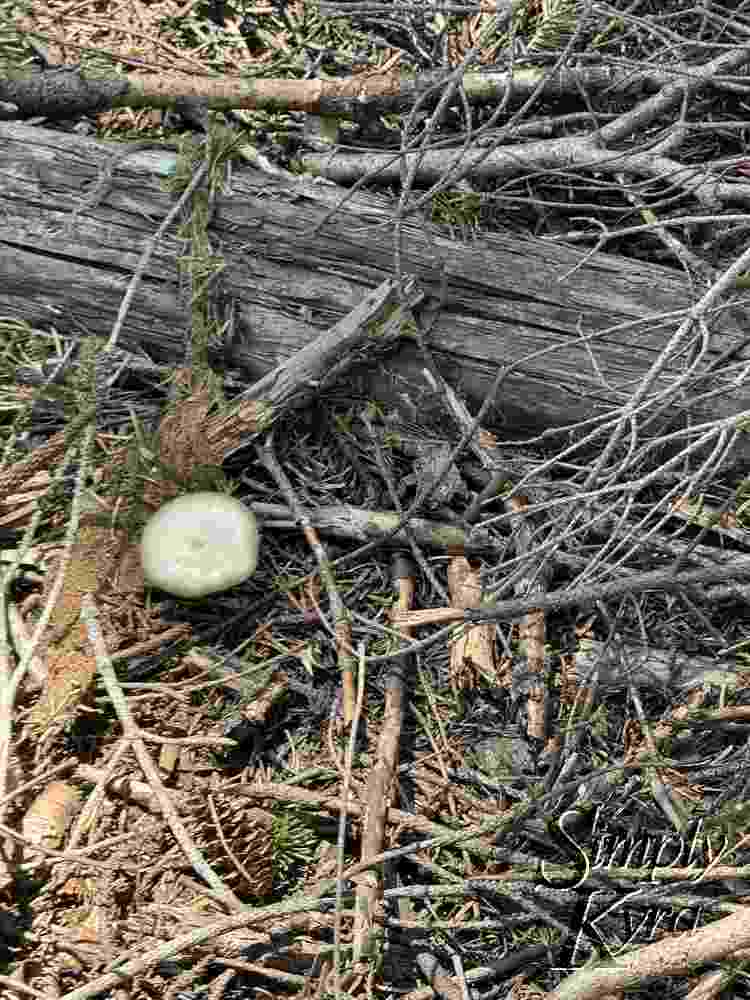
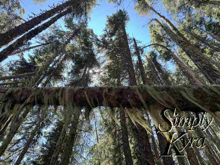
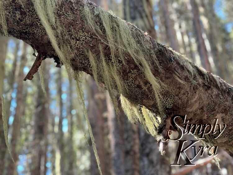
Side Quest
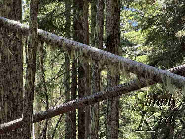
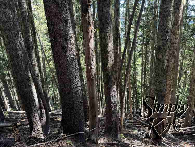
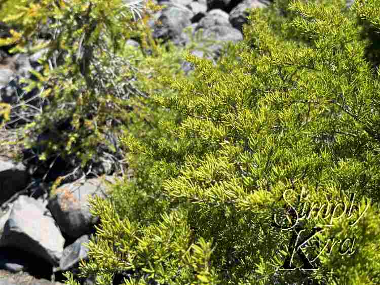
At some point we took a wrong turn and started going through trees again. Looking back the fact that there were tress blocking the trail at several points should've been a sign we may have gotten turned around but it was still an obvious trail and so we didn't second guess it at first. That said, I'm so glad we did because the trees were gorgeous!
Back On the Trail
After checking our map we were back on the criss crossing trail and on our way to the glacier view.
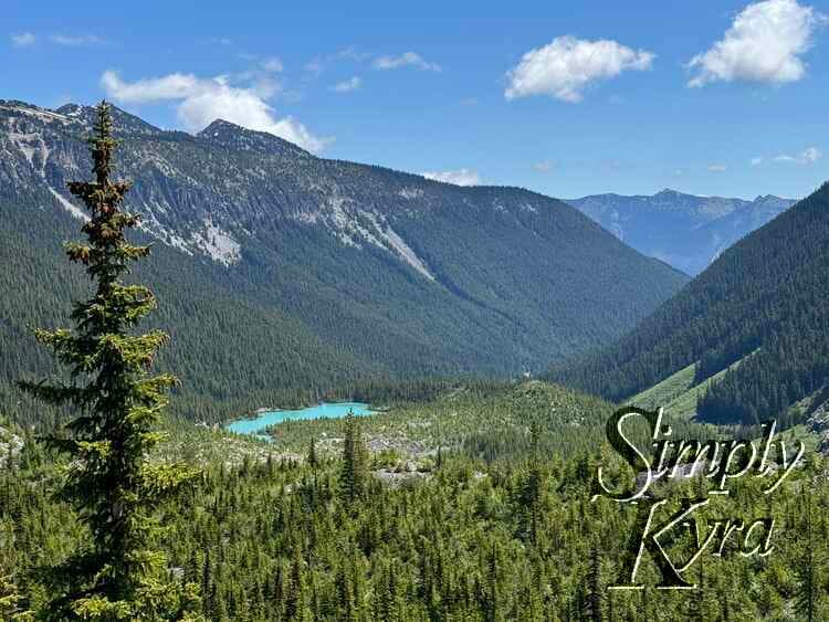
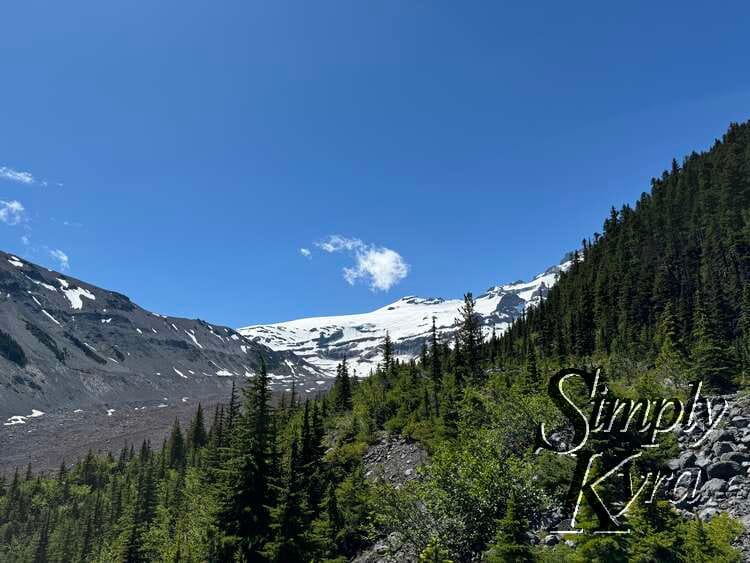
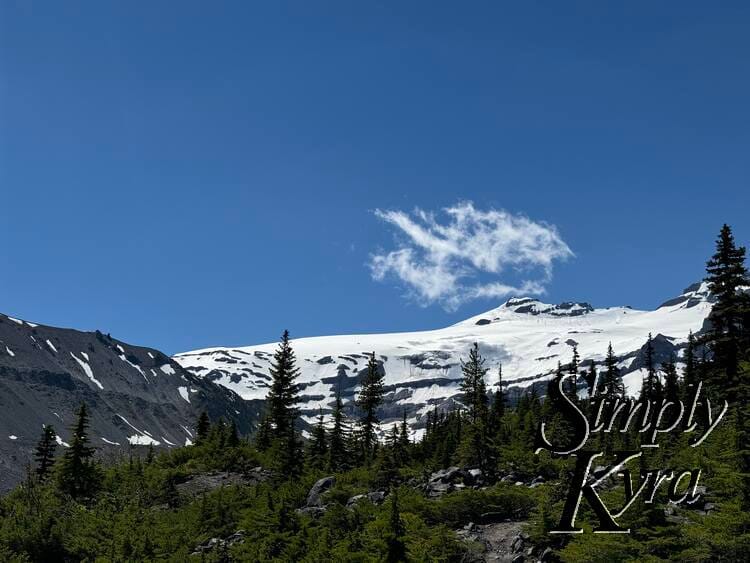
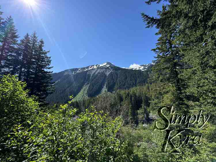
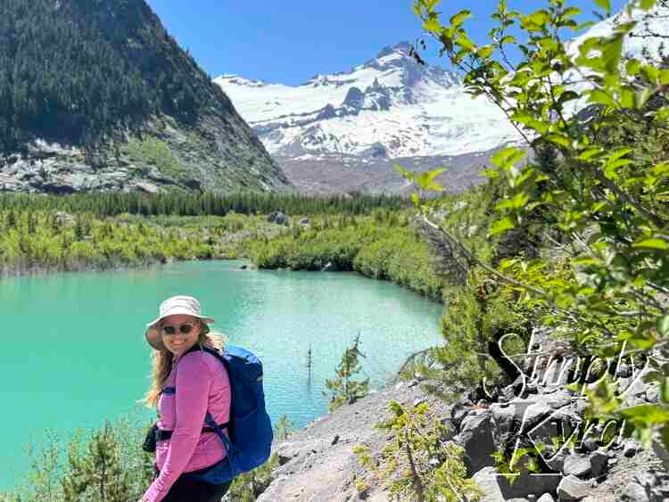
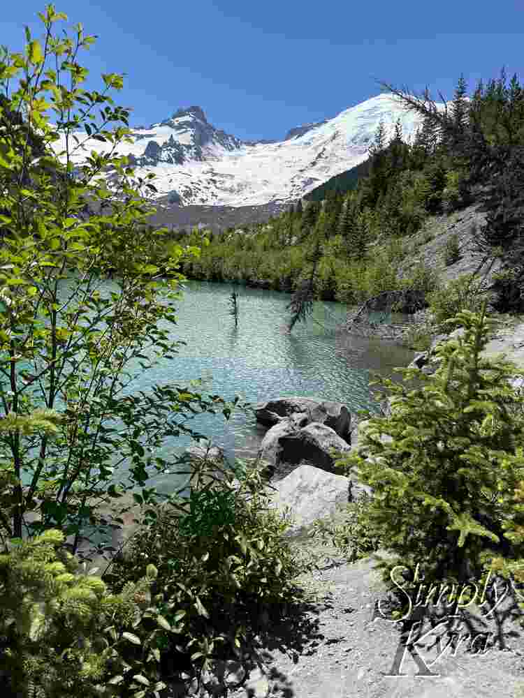
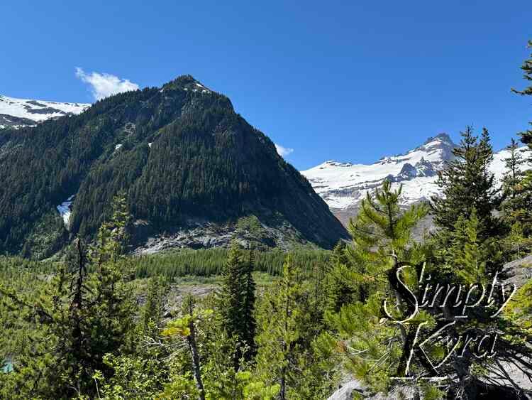
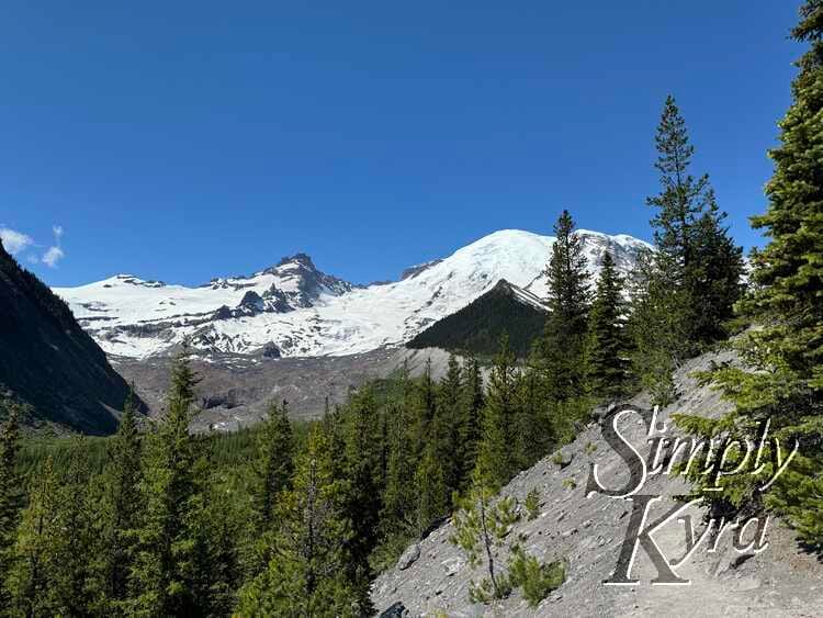
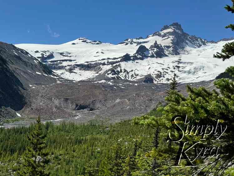
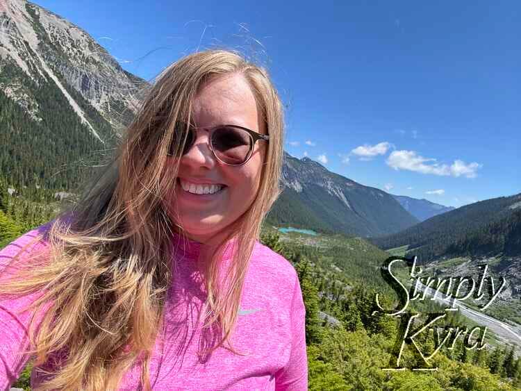
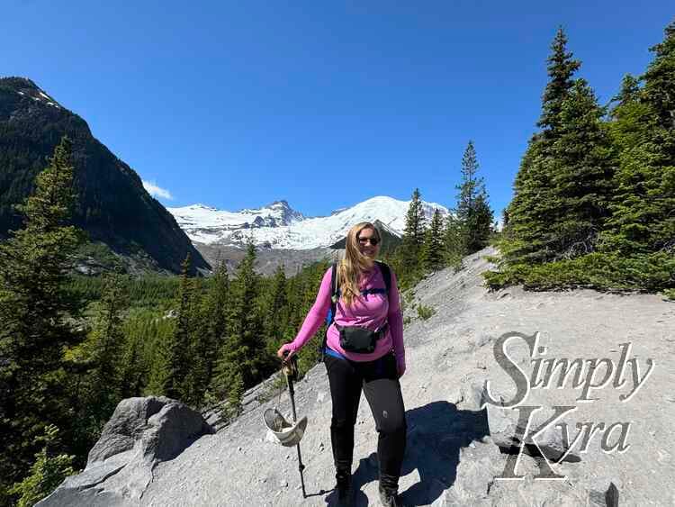
Viewpoint
And then we reached the end with a view letting us see in either direction.
And Back Again
And with the end reached it was time to turn back where we headed to the lake and snapped more photos at the river, shown above, before returning home. I'm so glad I went on this hike and although the final viewpoint was gorgeous I'm so glad we got turned around so we got to experience the mossy forest along with the river, waterfall, and lake.
I hope these photos found you well and you're having a great day.
If you’re interested in getting any of my future blog updates I normally share them to my Facebook page and Instagram account. You’re also more than welcome to join my email list located right under the search bar or underneath this post.
Did this save you time?