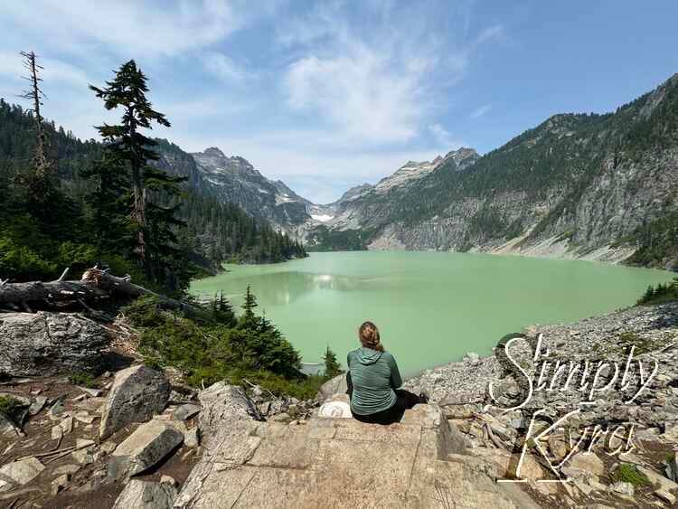
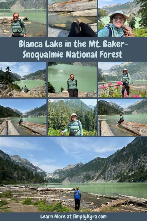
Blanca Lake in the Mt. Baker-Snoqualmie National Forest
I hiked to Blanca Lake from it's trailhead back at the beginning of August 2024 and took so many amazing photos that I wanted to share some of them with you in case you'd also love to come along on this adventure.
Good to Know
Pass
Blanca Lake is part of the Mt. Baker-Snoqualmie National Forest and requires either a Northwest Forest Pass (valid in Washington and Oregon) or a National Park Pass. It doesn't accept the Washington Discover pass and you can no longer purchase the required passes at the Blanca Lake trailhead directly which we had assumed we could do. Luckily, there was a poster showing what was accepted at the trailhead and we happened to have one of the other options on hand.
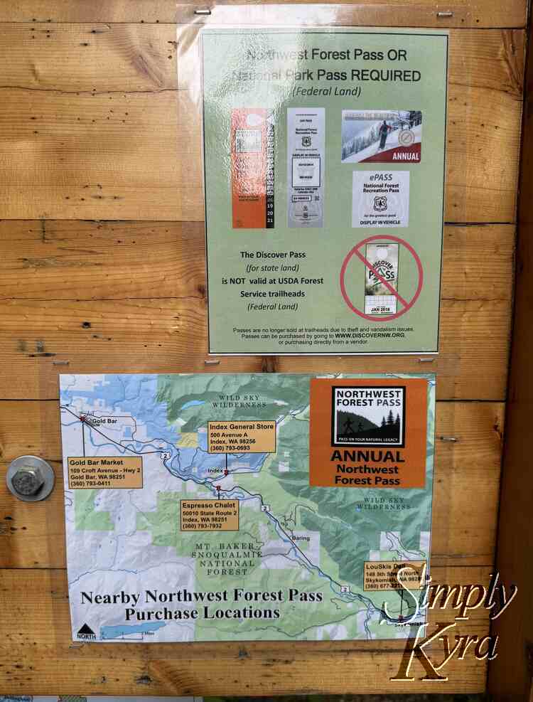
Looking online on the listed Discover NW website I see you can purchase the annual pass if you have time to wait for it to be mailed to you or, if not, you can purchase a day pass (for Washington and Oregon only) if you know when and where you're going and have access to print it out yourself.
Connectivity
If going I wanted to mention that we lost cellphone reception before arriving so make sure you have your plan in place, required maps downloaded or printed, and pass ready before arriving.
Driving There
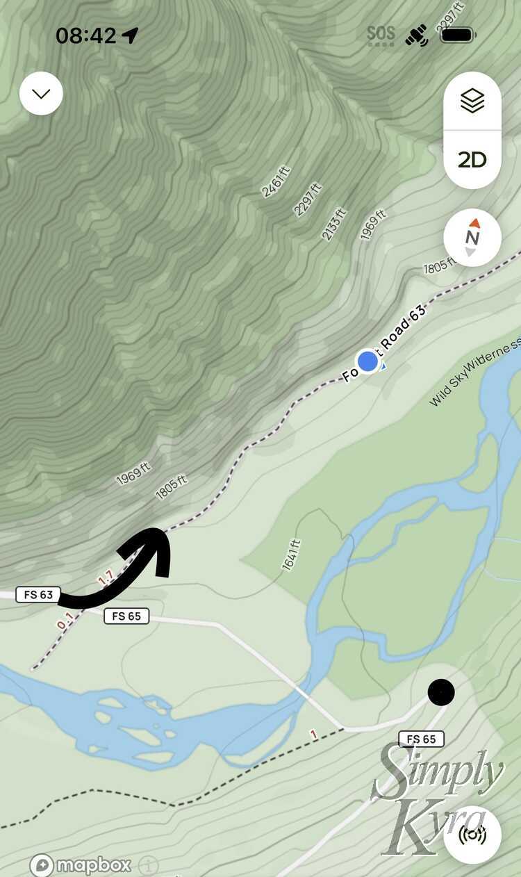
Depending what map service you use we were directed to the wrong location and had do a u-turn and find our way back. Fortunately I had downloaded the AllTrails map that showed the general roads around the trail and I was able to confirm where we should go to get to the trailhead.
Parking
The parking lot itself is small enough that Washington Trails Association has the following warning on their website:
Consider visiting Blanca Lake on a weekday. There is parking available here for about 20 cars, but the lake's popularity, particularly on weekends, often results in far too many cars for the small lot and access road. Please park so that cars and horse trailers can get in and out of the lot.
Facilities
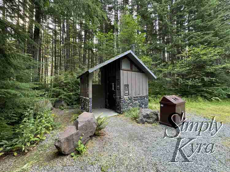
There's a single vaulted toilet at the trailhead itself that, when I went, had toilet paper. Along the trail itself there were two spots that had a sign indicating a toilet along a new path but I never went out of my way to check them out and see what was offered.
Camping
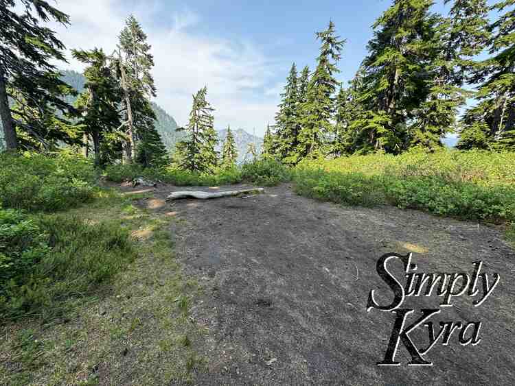
There's no camping at Lake Blanca herself but there was a camping location we passed on the way there so camping is allowed though the fire danger is high. Based on WTA:
[C]amping within a half-mile of Blanca Lake is prohibited by Forest Service (as of May 1, 2021). Camping is allowed at Virgin Lake and on the ridge above Virgin Lake.
Bugs
There were quite a few bugs on our way up so I was happy I wore a long sleeved shirt and even then felt the odd bite through my sleeves. There seemed to be less on our way back but not sure if that was because it was later in the day or if we were moving quicker heading back down than up.
Activity Burn
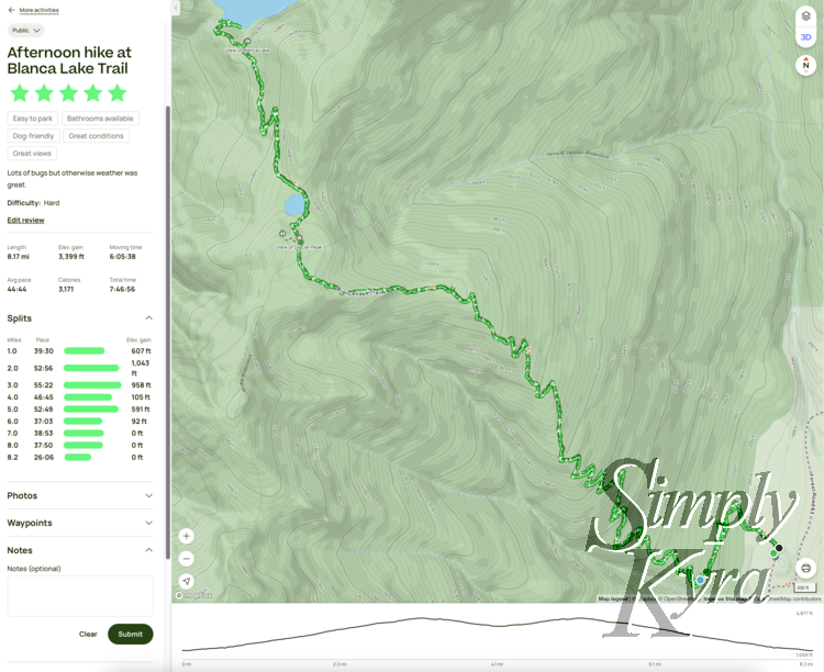
In case it helps you decide here's my map and hike stats from AllTrails. We stopped to eat and take photos but overall the entire hike was logged at 8.17 miles with a moving time of 6 hours and 5 minutes and a total elevation gain of 3,399 feet.
Blanca Lake Trail
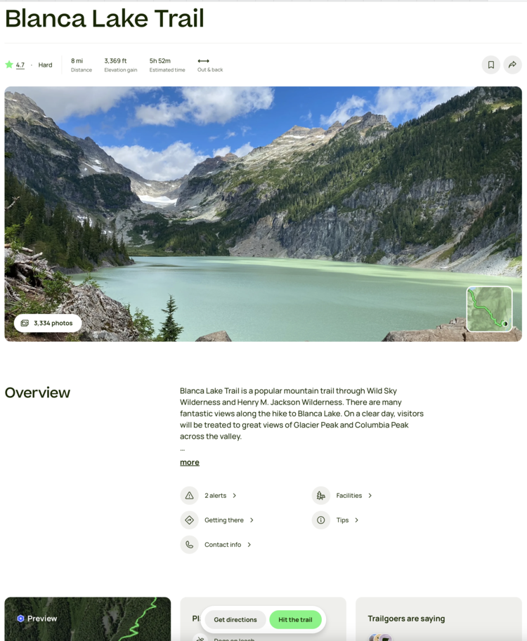
If you're looking to do this hike yourself here's the link for Washington Trails Association (WTA) and another version through AllTrails. Additionally all quotes used below were taking from the WTA listing of the hike.
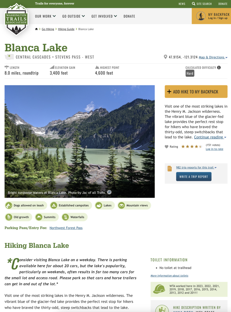
Now onto our adventure... in the order in which it was taken!
Going Up
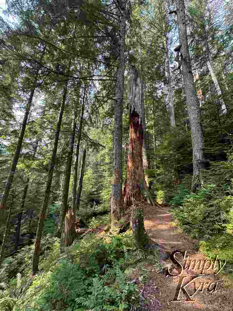
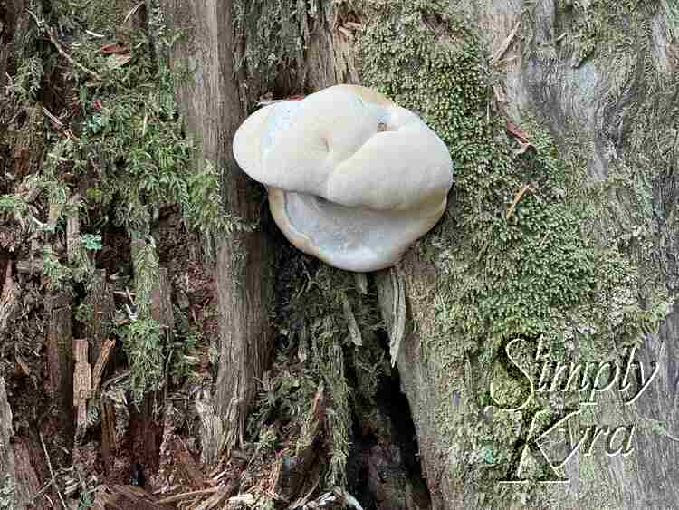
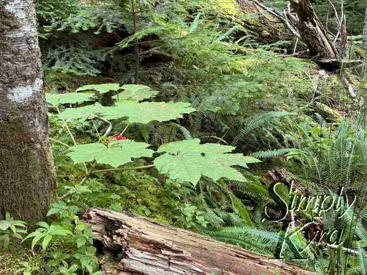
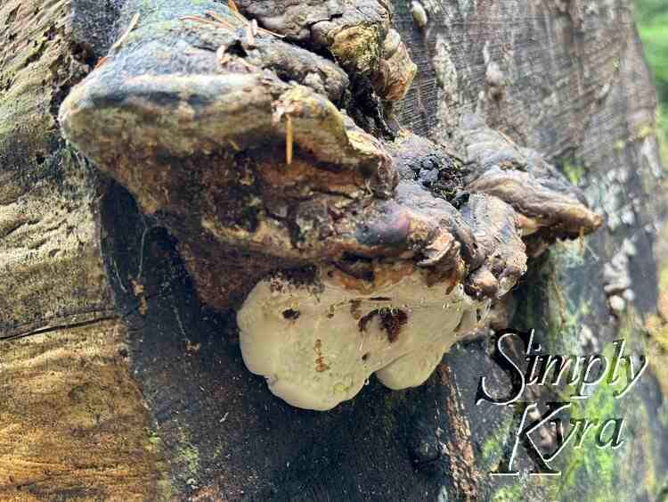
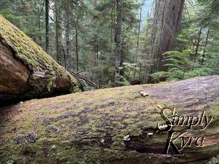
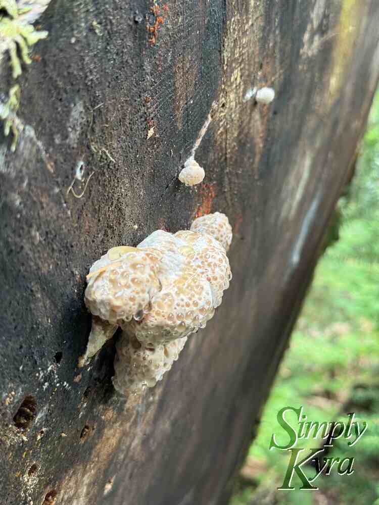
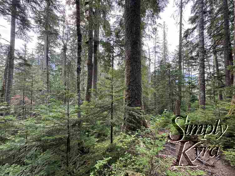
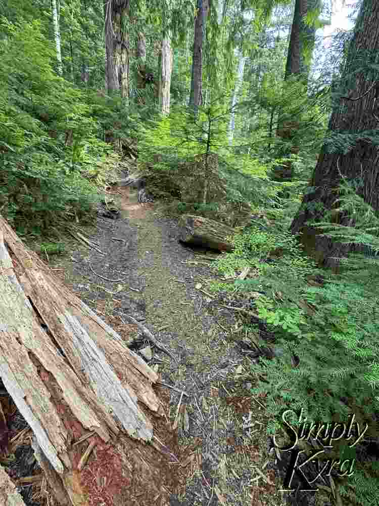
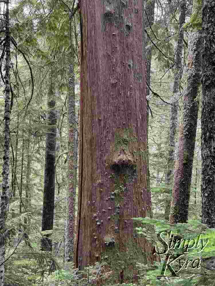
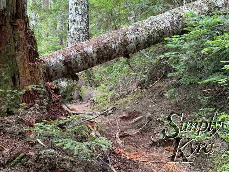
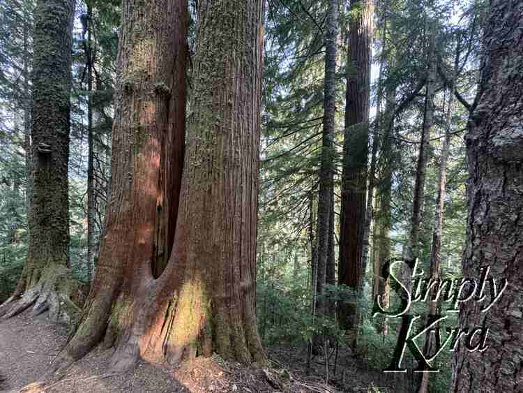
The hike starts in a forest offering shade with switchbacks allowing you to gain "a little under 3,000 feet in a little under 3 miles".
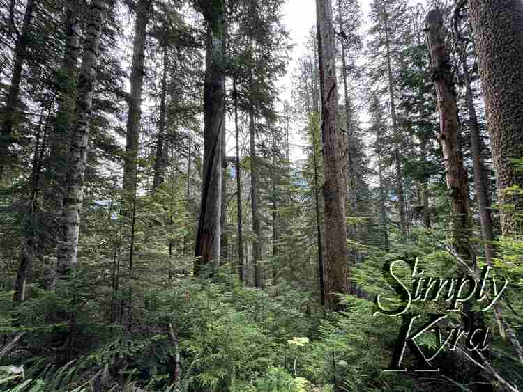
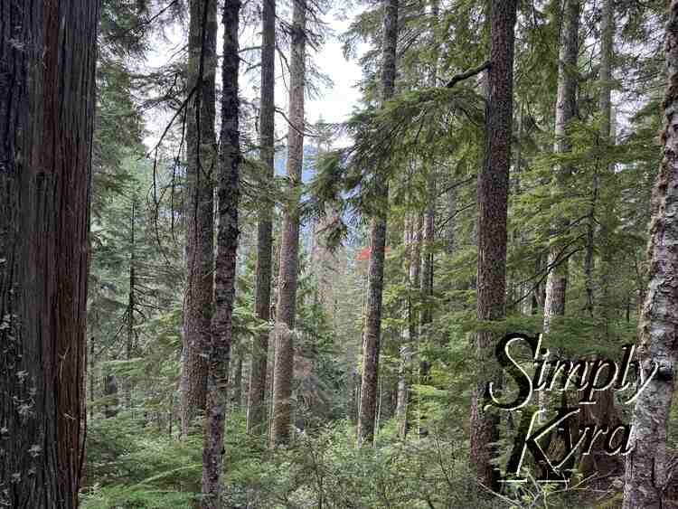
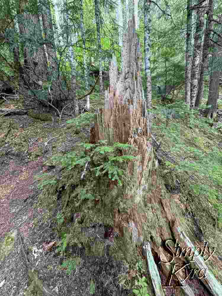
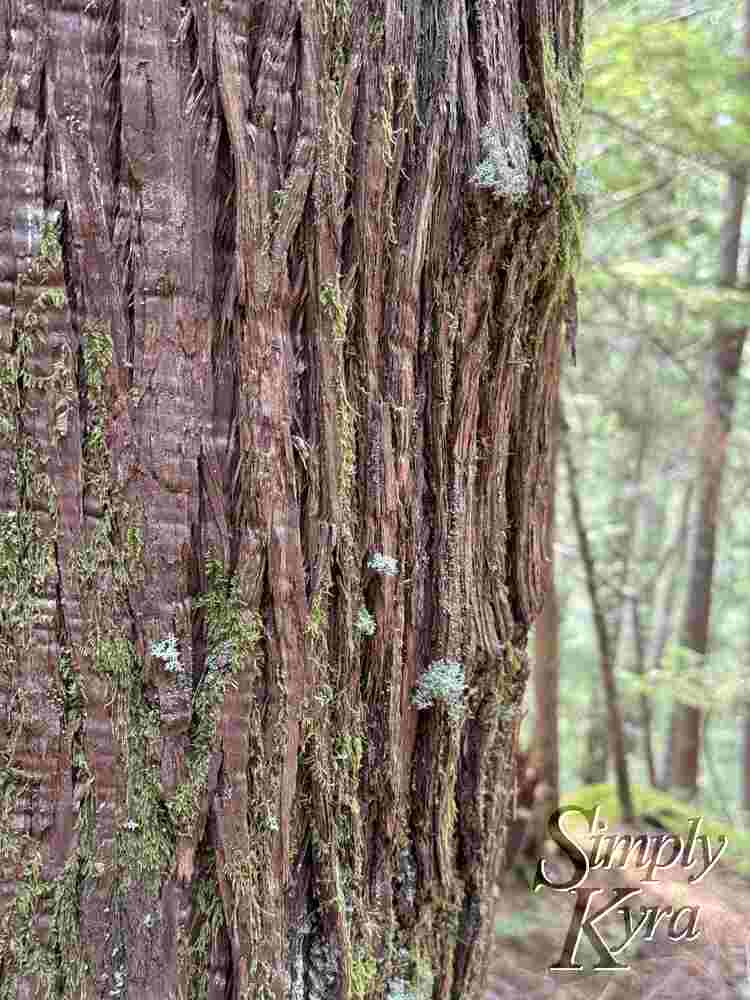
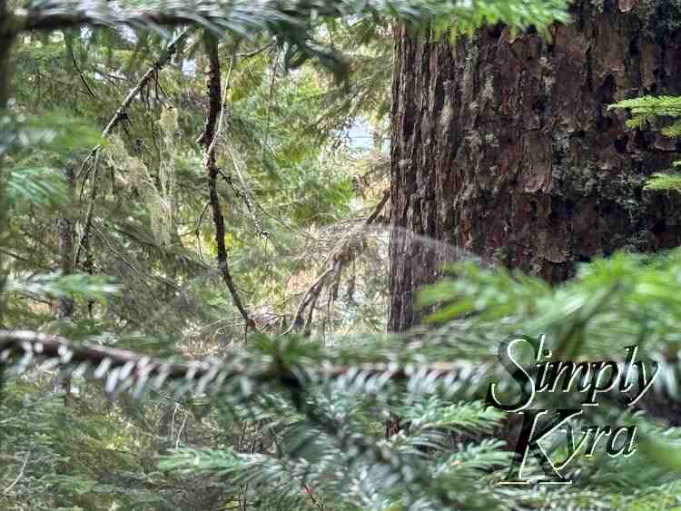
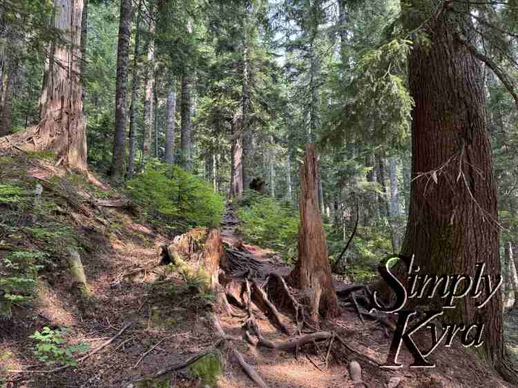
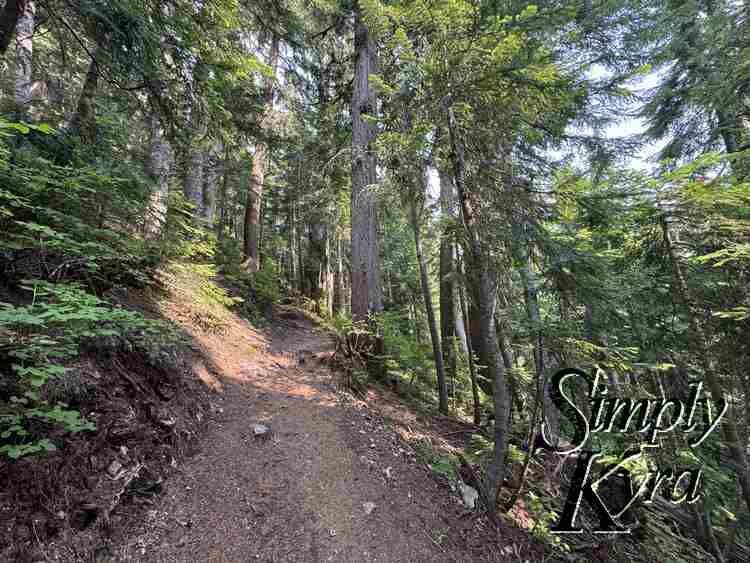
Ridgeline
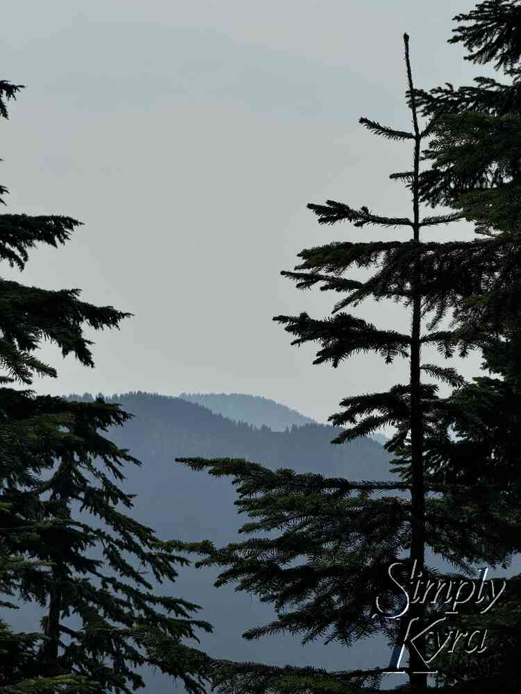
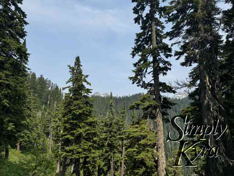
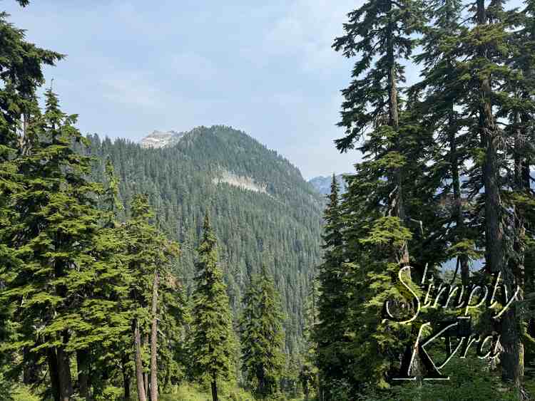
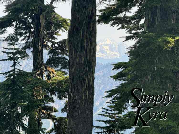
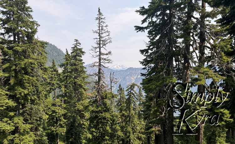
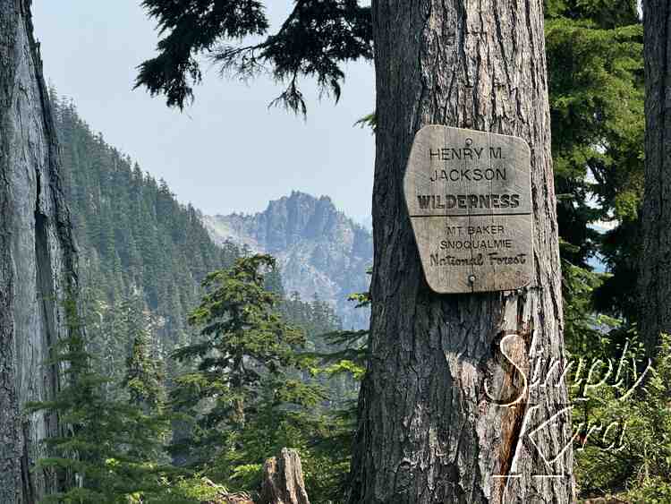
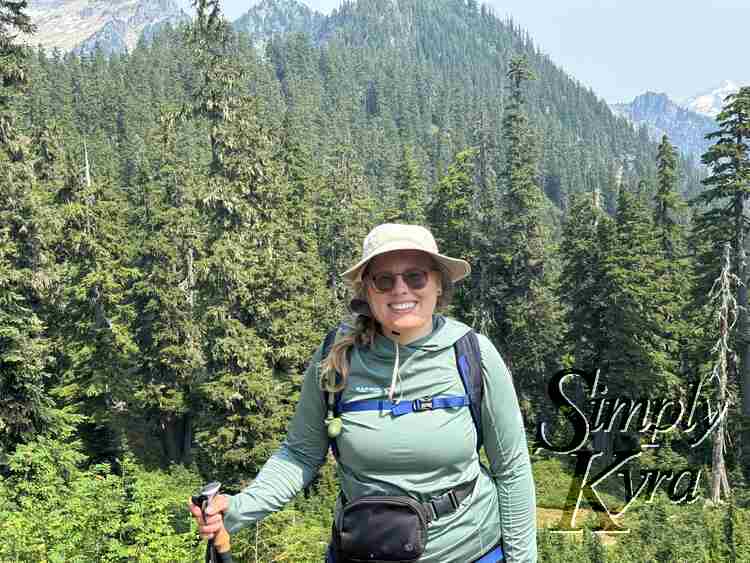
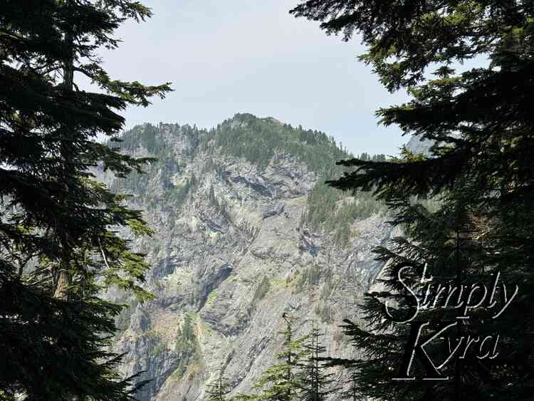
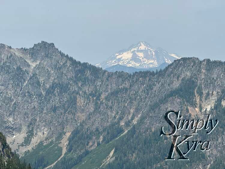
Here the trees open up allowing you to catch glimpses of the mountains and see Glacier Peak
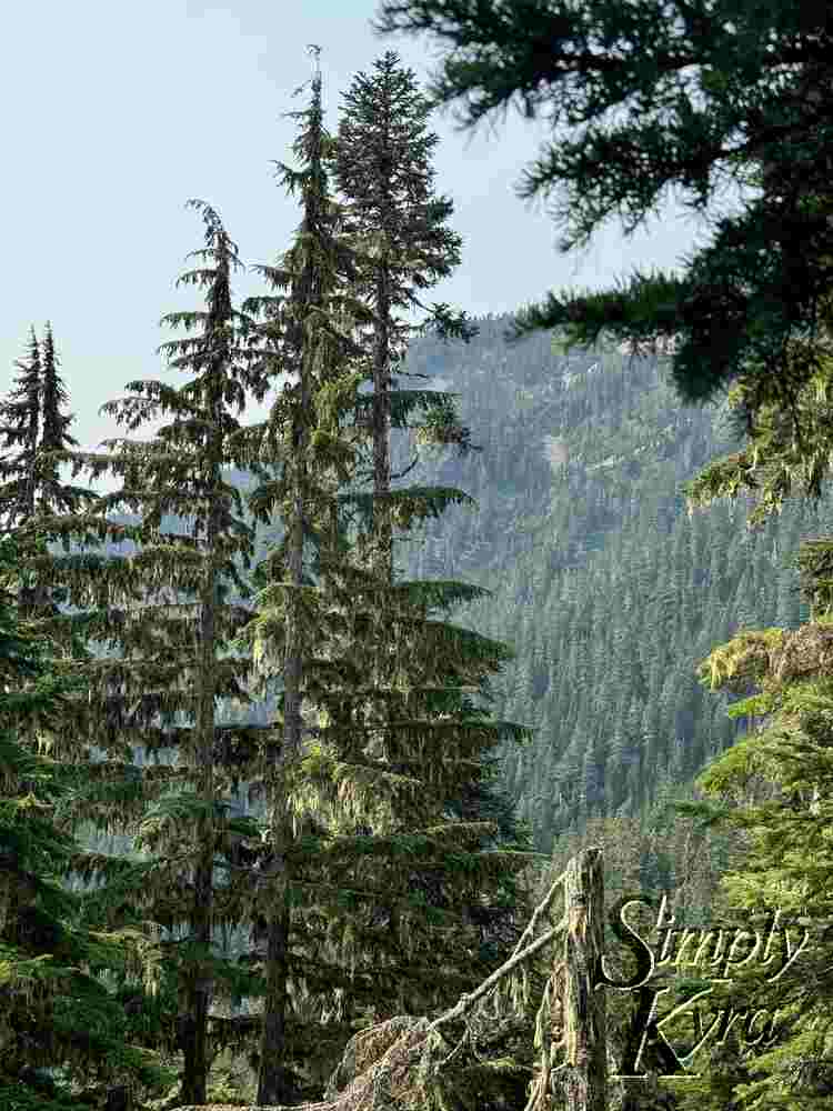
Virgin Lake
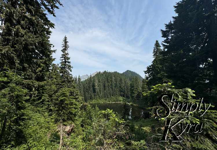
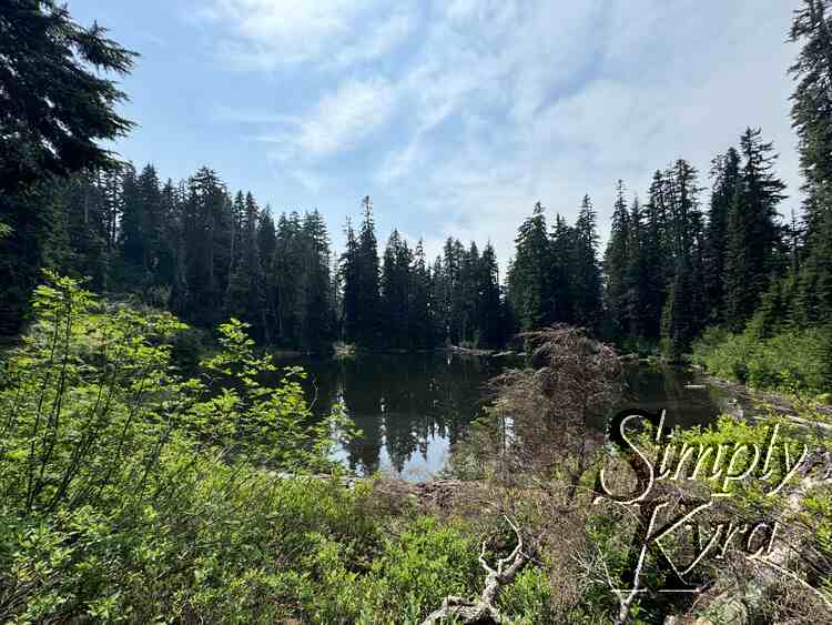
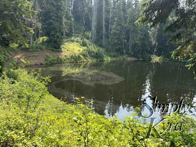
After hearing about Blanca Lake and seeing this lake's name I pictured something more than the stagnant water this contained; which apparently is composed of just snowmelt and rainwater. That said, it offered a nice break from the trees and I appreciated the brief descent before going up again.
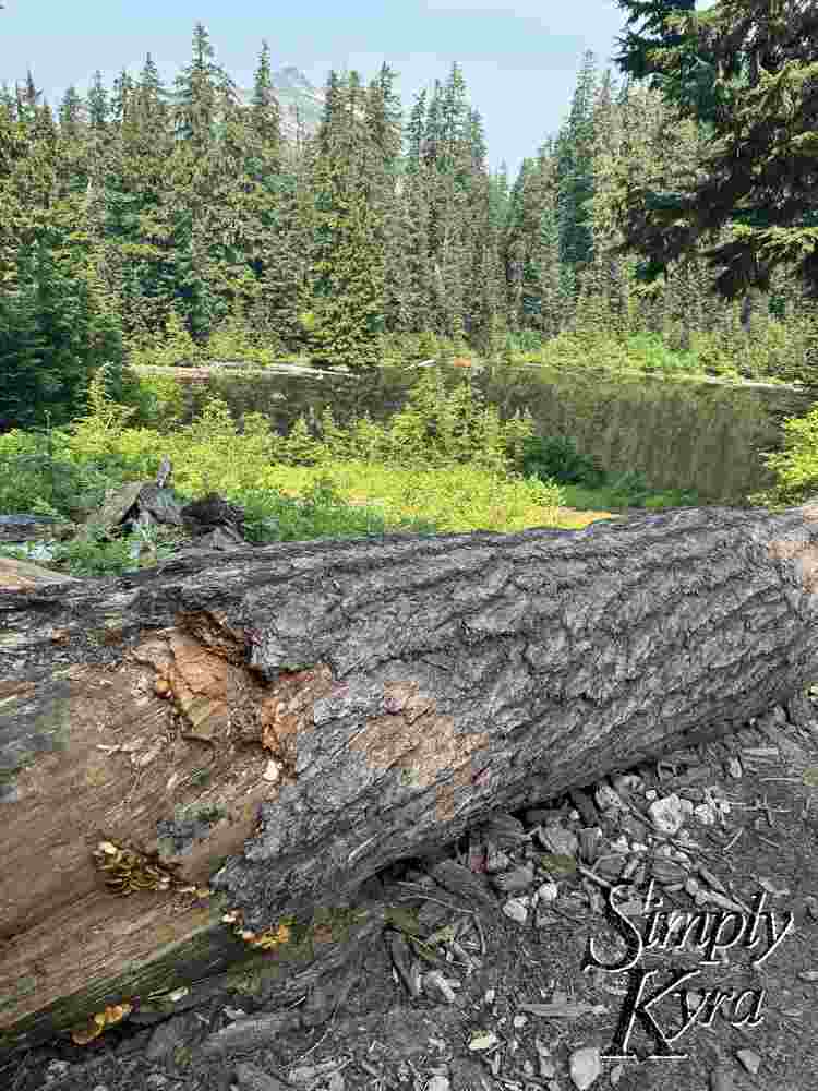
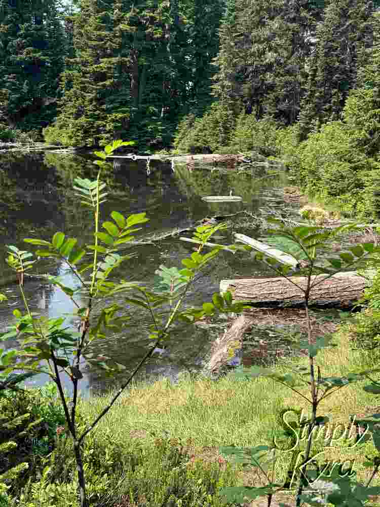
Back Up Then Down
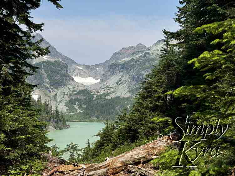
After enjoying the Ridgeline we head back down "dropping 600 feet in 0.6 miles" before being gobsmacked at the prettiness of Blanca Lake.
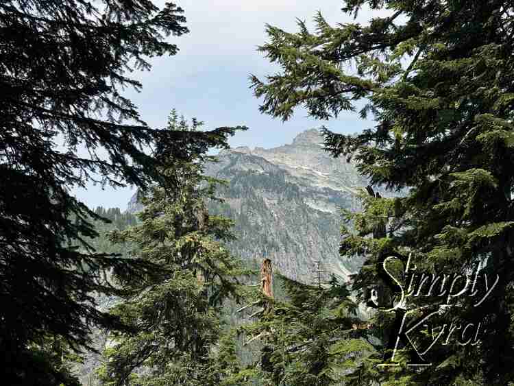
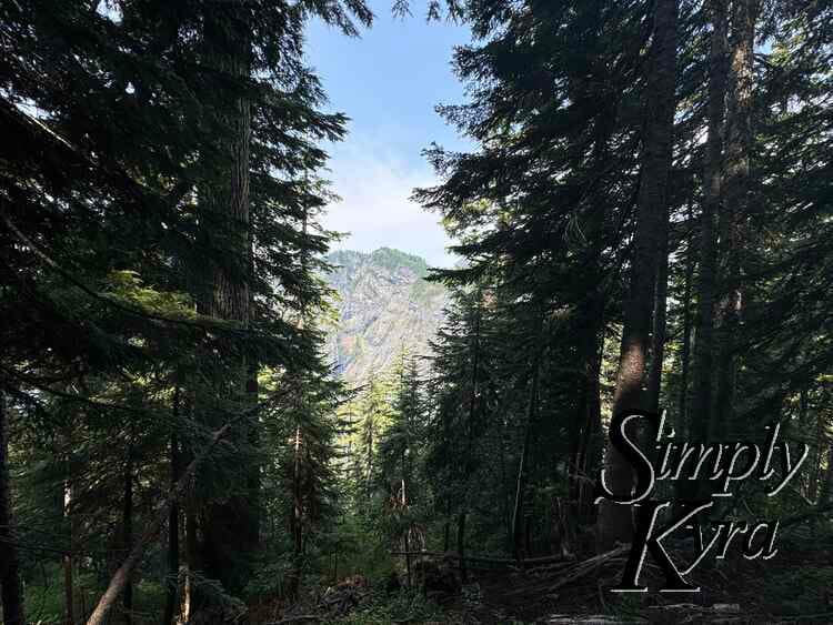
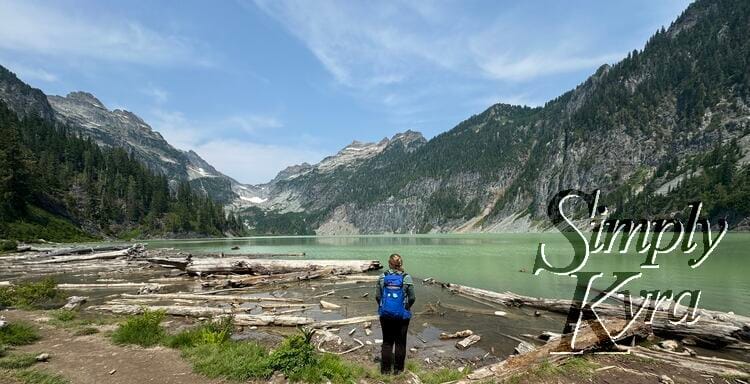
Blanca Lake
I can't say it better than the WTA description:
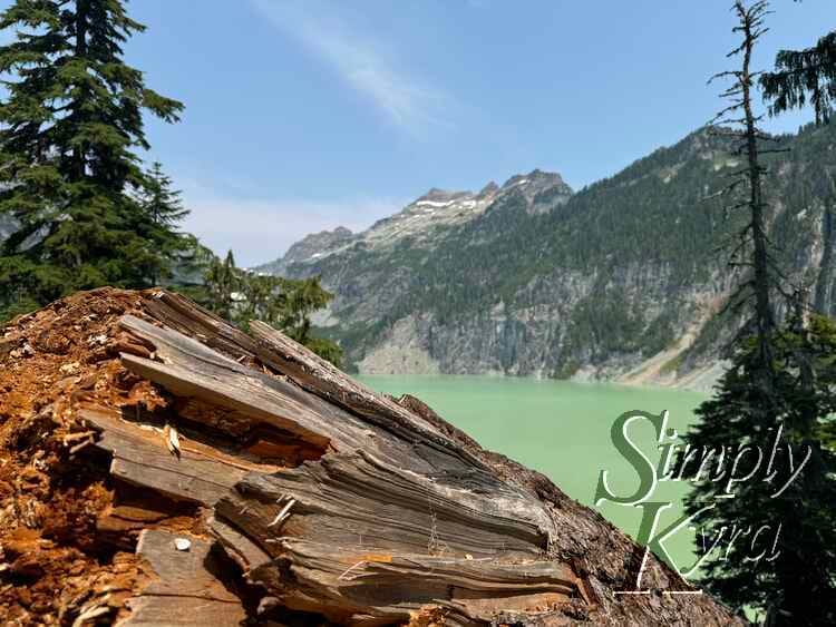
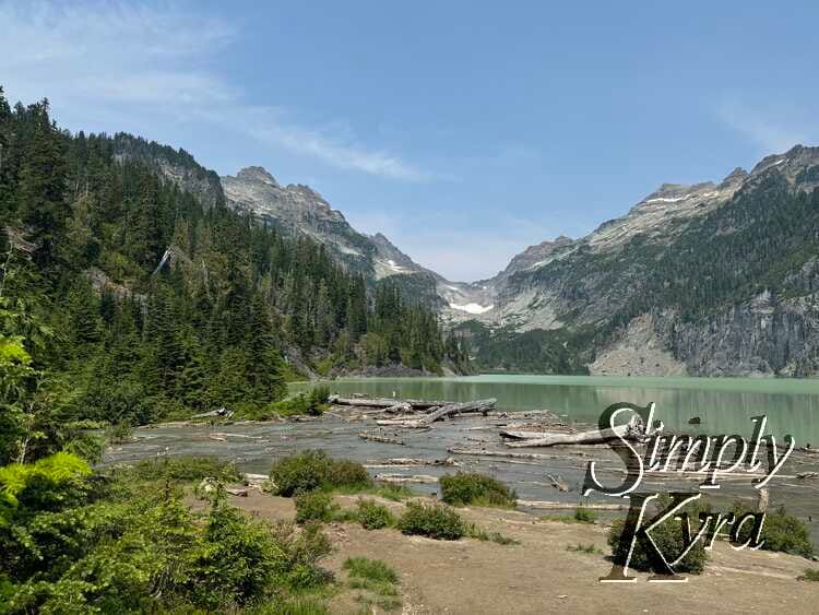
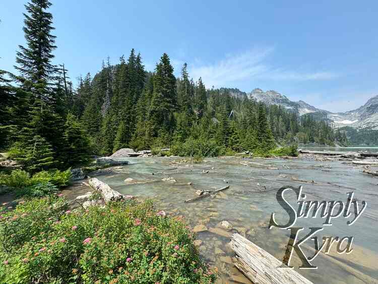
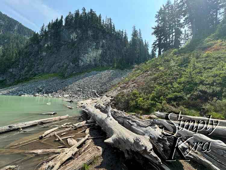
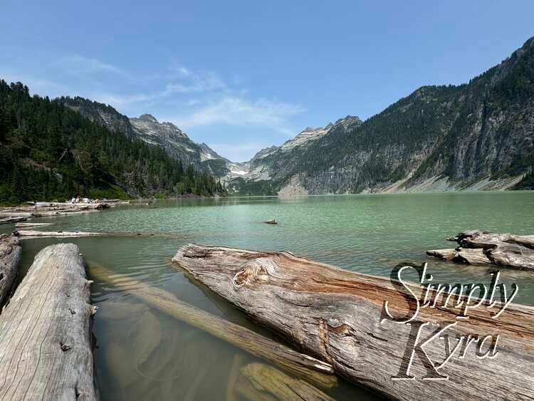
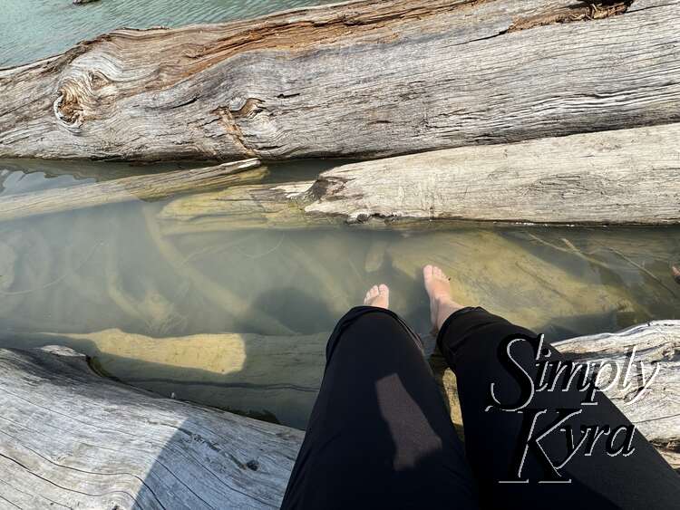
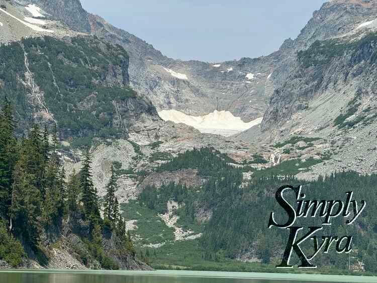
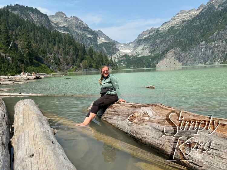
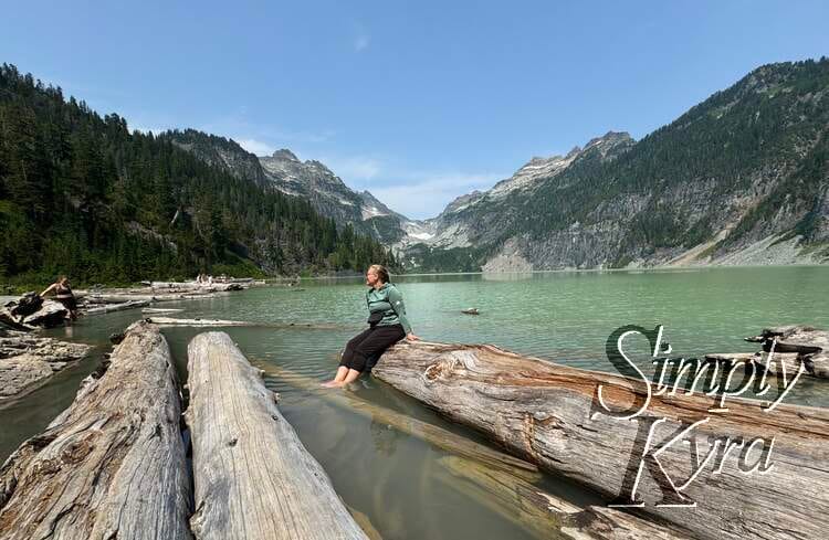
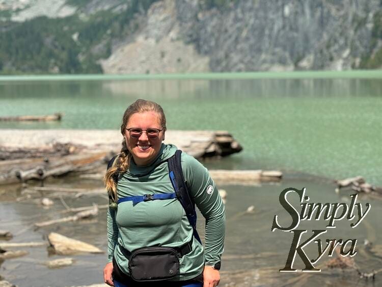
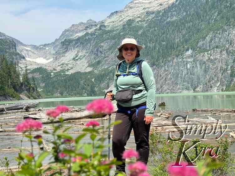
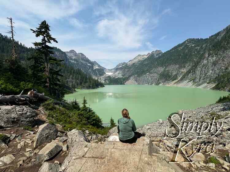
The lake is framed to the north by the peaks of Monte Cristo, Columbia, and Keyes. More than a few hikers have been known to gasp aloud when they round the corner and see the robin-egg blue waters. Above the lake, the Columbia Glacier drains via a twin waterfall into the vibrantly blue-colored water. It's the glacial till in the water that lends the lake its otherworldly color. 0.2 miles before the lakeshore, there is a nice viewpoint to take a perfect photo with Blanca Lake in the background. At the end of the trail lies a small beach full of driftwood, perfect for relaxing and enjoying the beauty that surrounds you.
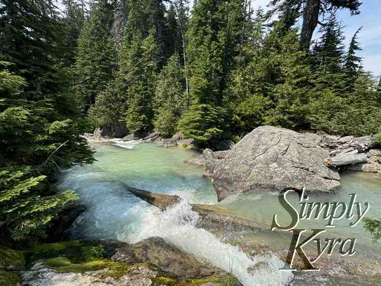
Babbling Brook
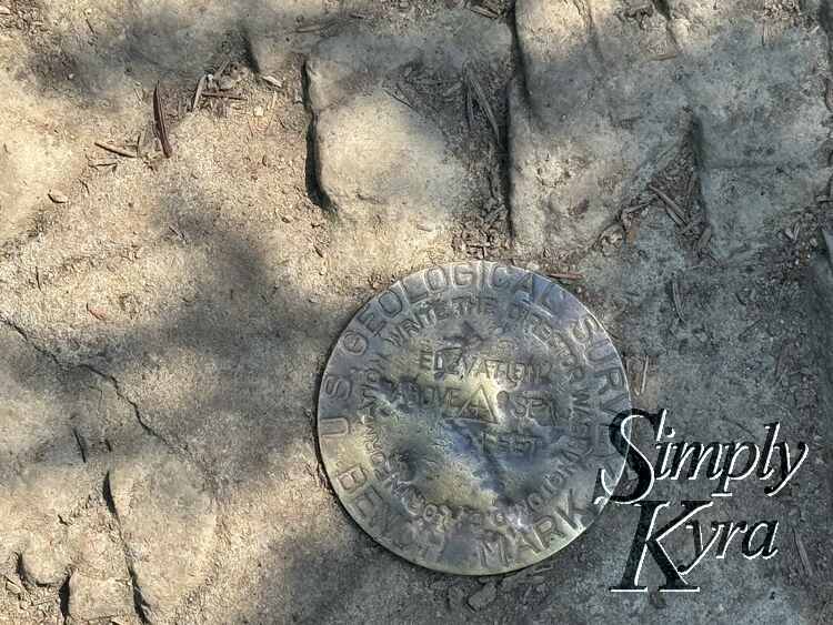
If you go to the left you can hear water and it sounds like there should be a waterfall but you can't go far enough to confirm. That said, I loved the look and sound of the running water and found an old geological survey marker on the rock nearby.
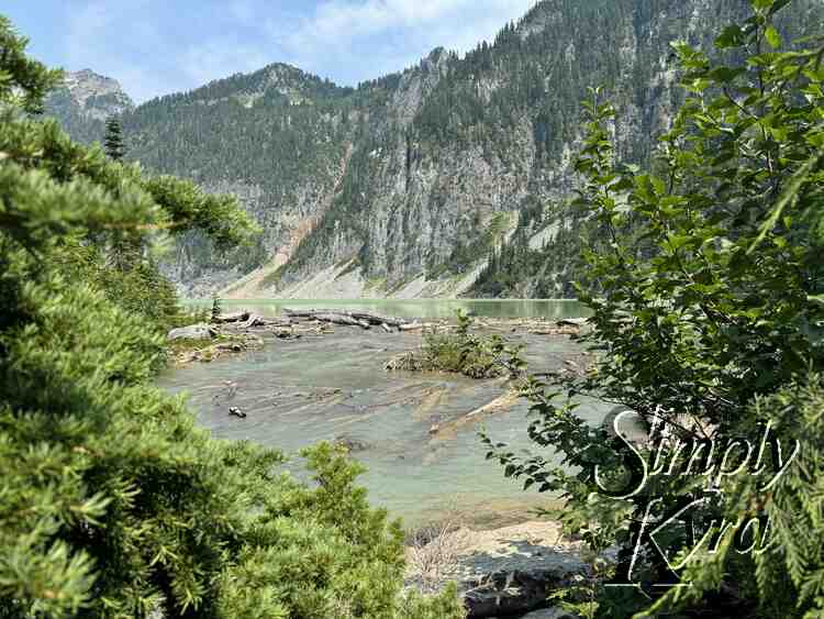
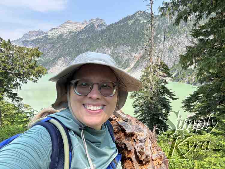
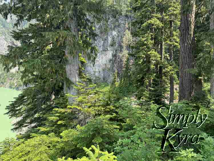
Viewpoint
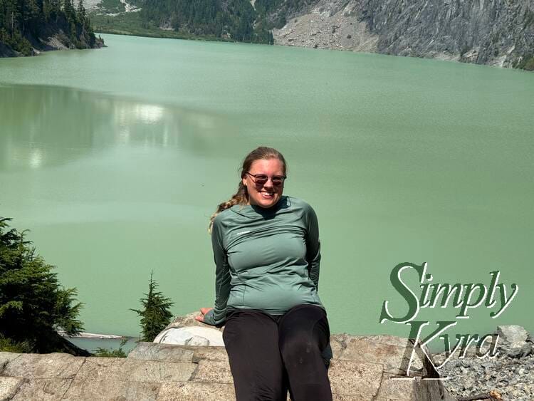
On the way to the lake access there's a viewpoint looking out over the lake. We skipped it on the way to the lake but took our time snapping photos there on the way back after we had eaten.
Return By Going Up
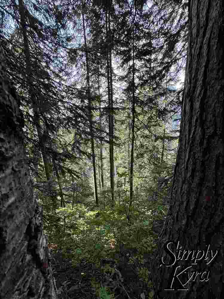
And since it's a there and back trail we had to do it all in reverse starting with going back up that "600 feet in 0.6 miles" trail.
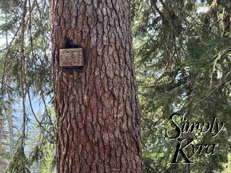
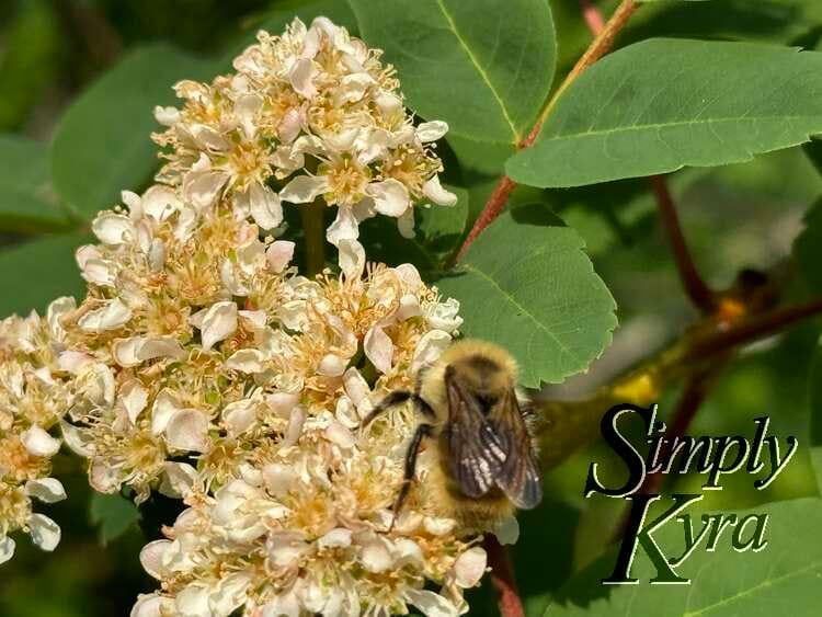
Virgin Lake
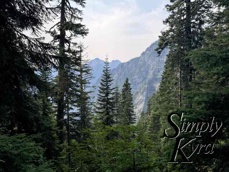
I took the odd pause while walking by to check out new things I hadn't caught the first time around.
Only Descent Left
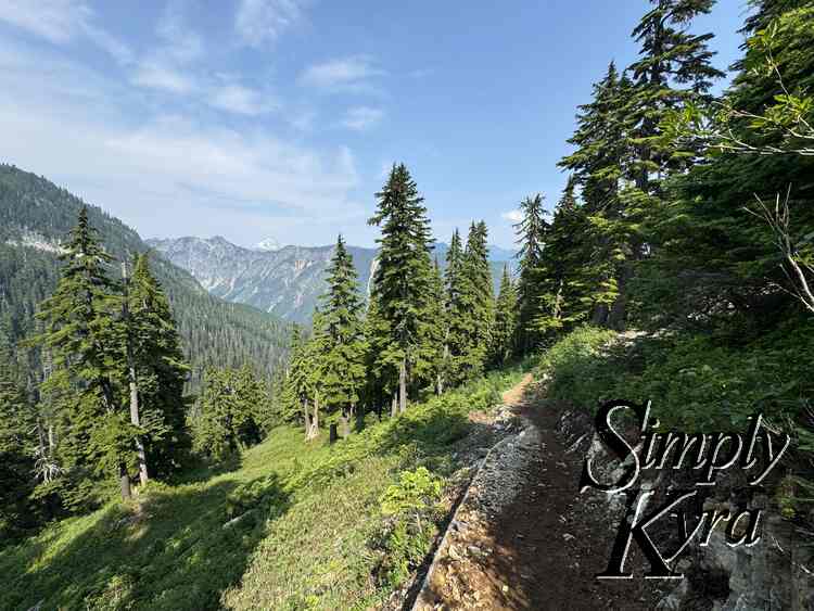
And with the ascent to get out of the Virgin Lake basin and onto the Ridgeline done it was all downhill from there. And bonus the bugs didn't seem as bad on the way back though I'm not sure if that was time of day or we were moving quicker on the way down.
And with that the hike was over and I bid you adieu on this adventure. I hope these photos found you well and you're having a great day!
If you’re interested in getting any of my future blog updates I normally share them to my Facebook page and Instagram account. You’re also more than welcome to join my email list located right under the search bar or underneath this post.
Did this save you time?

