
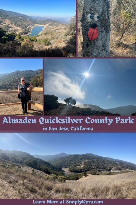
Almaden Quicksilver County Park in San Jose, California
Almaden Quicksilver County Park was my first actual hike I went on when I attempted to do more things and although it seemed tough at the time I'm so glad I went. Let me take you along for an adventure!
This hike was done back at the end of October in 2022 right before the last two winters of rain. I haven't returned to Almaden Quicksilver County Park since so I'm not sure it's exact conditions that said I've realized since that the mud in the Bay Area can be slippery so be cautious depending on the weather. For up to date conditions check out either Santa Clara County Parks or a service like AllTrails.
Background
Back when I first wanted to get out more, when I still lived in the Bay Area, I came across the Bay Area Adventure Gals (BAAG) on Facebook that offered a great community of women to go out and do things with. Although so many activities looked great I decided to focus in on the hikes that worked around my family's schedule so I could go out and meet people while also exploring the area and exercising... a trifecta!
This was the first meetup within BAAG that I participated in and although in hindsight I wasn't prepared I'm still so glad I went. We ended up with a decent sized hiking group but the person that hosted the event didn't show up and someone else had to step up to lead with no pre-planned route in place. Since it was my first time true hike and advertised to be easy I wasn't prepared for the actual route we took and, in hindsight, I'm just really happy that I left some water and snacks in the car for the drive home as I only carried a small plastic water bottle that easily fit in a fanny back. So, I guess, I learned to come better prepared and all subsequent hikes included a backpack and with either a couple of regular sized water bottles or, later, a hydration bladder, just in case it's needed.
Hike
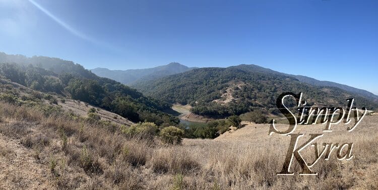
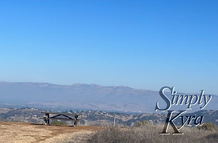
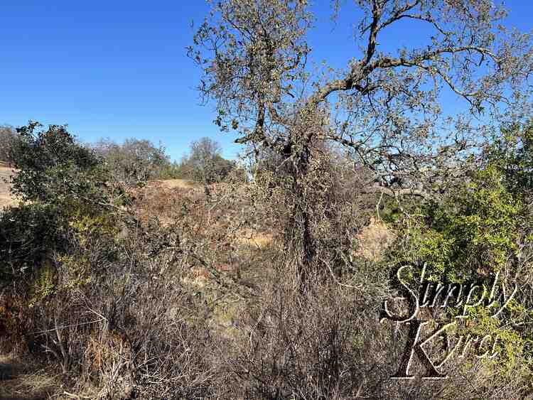
The planned hike was supposed to be an easy hike so looking back I wonder if it was supposed to be this 1.3 mile loop that started out on Senador Mine Trail before looping over two other trail systems. I imagine, based on the photo locations I share below, that we continued along that trail for longer before zigzagging back down to our starting location. The main bits I remember are parking in a residential area, a long and wide sun covered dirt trail we climbed up for a while, and coming back down through switchbacks in the much appreciated shady trees. In fact it took long enough that by the time we neared the top, before going into the grass and trees, half of our group decided to turn back as it was hot and taking longer than expected.
If you're looking for this and/or other trails in the area check out AllTrail's list of the Best Trails in Almaden Quicksilver County Park or see the information through Santa Clara County Parks.
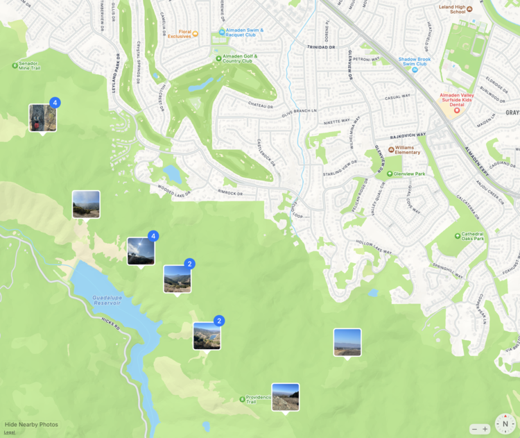
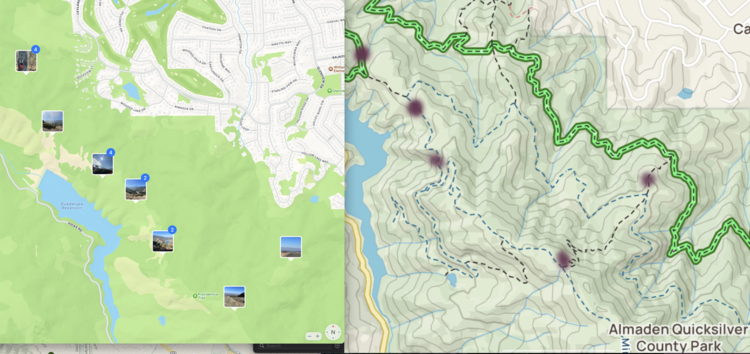
Map
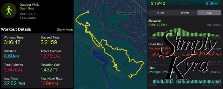
This was a while ago before I signed up for AllTrails so I used the photo library on my Mac to check exactly where I went on the hike for you, compared it to the AllTrails app, and then realized I could simply scroll back in my Apple fitness data to get an actual map if you want to follow the same path.
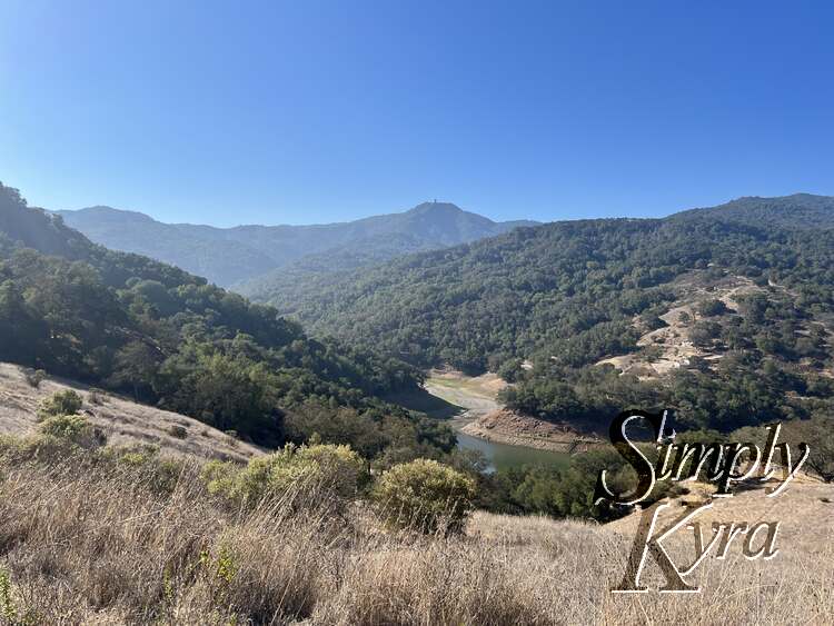
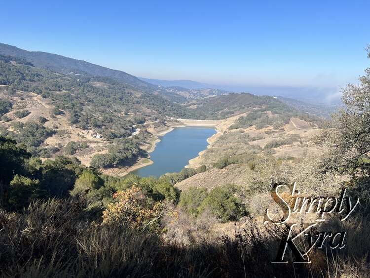
Photos
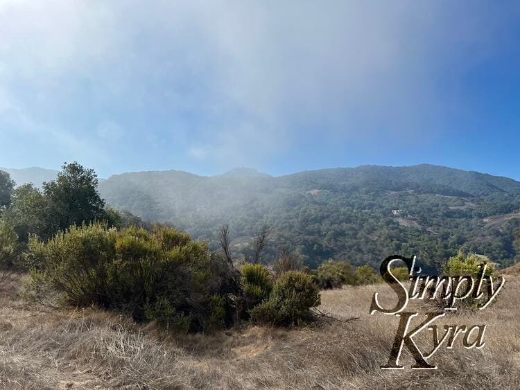
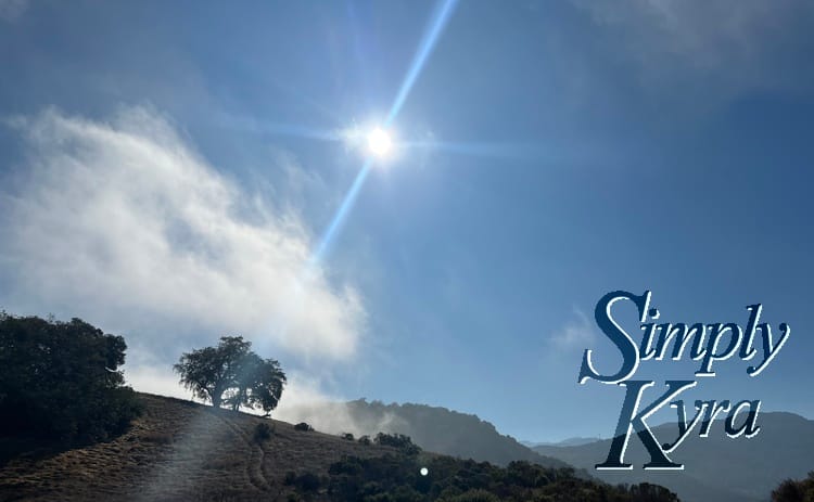
With the map and background out of the way here are my photos, in the order in which they were taken, from the hike!
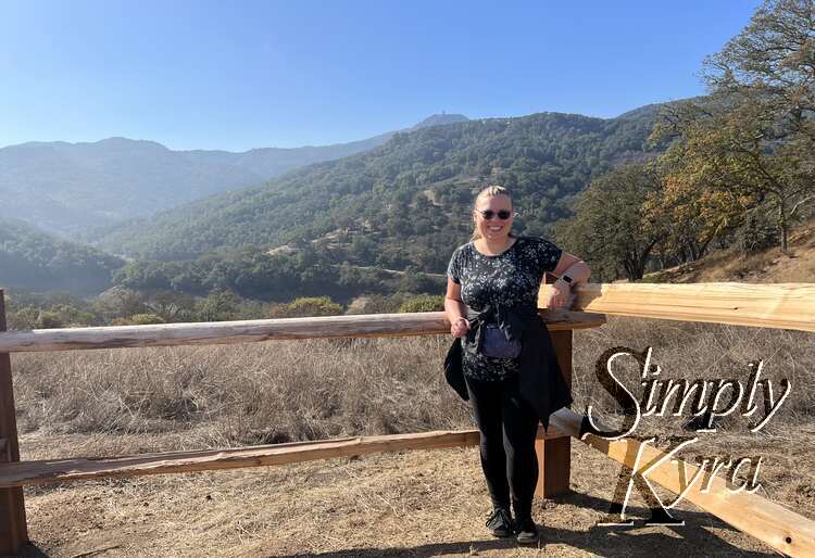
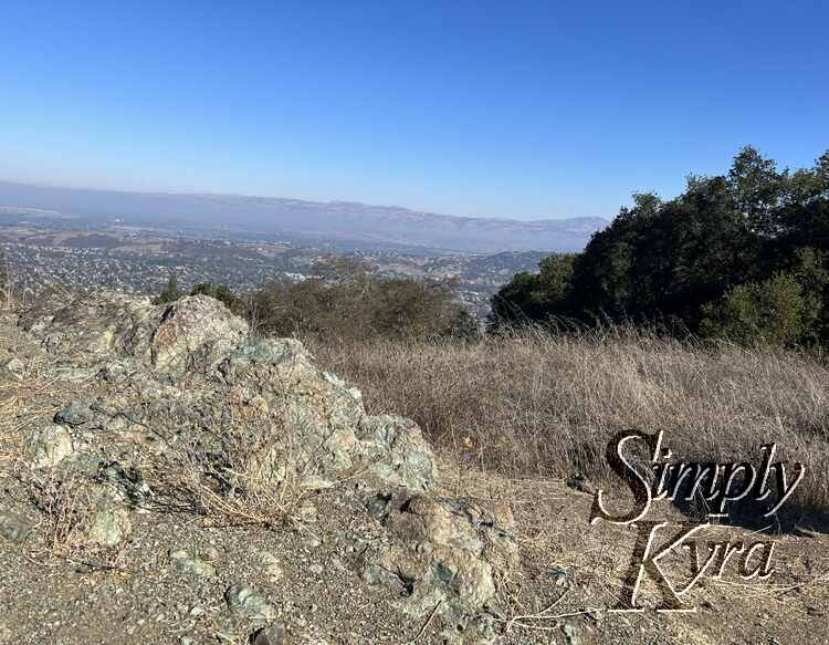

And with that the hike was done. And with that the start of my hiking journeys...
If you’re interested in getting any of my future blog updates I normally share them to my Facebook page and Instagram account. You’re also more than welcome to join my email list located right under the search bar or underneath this post.